


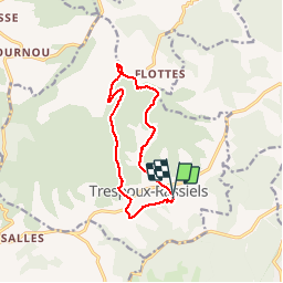

62 km | 81 km-effort


User


FREE GPS app for hiking
 SityTrail
IGN / Geographical institutes
SityTrail World
The world is yours!
Trail Walking of 11.7 km to be discovered at Occitania, Lot, Trespoux-Rassiels. This trail is proposed by poupartbertrand.
BALISAGE JAUNE
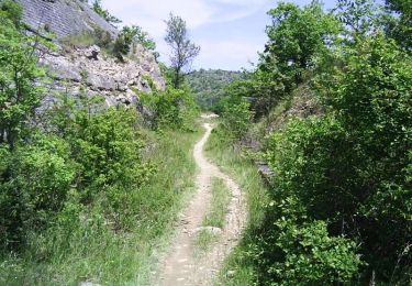
Pas de difficulté particulière. Alternance de marche à découvert et en sous-bois.
Départ depuis l'église de Trespoux.

Mountain bike

Walking

Walking

Walking

Mountain bike

Running
Walking
Mountain bike