


finiels

JPPERY
User
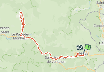

Length
46 km

Max alt
1231 m

Uphill gradient
1280 m
Km-Effort
63 km

Min alt
586 m

Downhill gradient
1288 m
Boucle
Yes
Creation date :
2014-12-10 00:00:00.0
Updated on :
2014-12-10 00:00:00.0
--
Difficulty : Difficult

FREE GPS app for hiking
 SityTrail
IGN / Geographical institutes
SityTrail Plus
The world is yours!
About
Trail Cycle of 46 km to be discovered at Occitania, Lozère, Vialas. This trail is proposed by JPPERY.
Positioning
Country:
France
Region :
Occitania
Department/Province :
Lozère
Municipality :
Vialas
Location:
Unknown
Start:(Dec)
Start:(UTM)
571402 ; 4909258 (31T) N.
Comments