


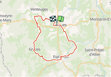

26 km | 34 km-effort


User


FREE GPS app for hiking
 SityTrail
IGN / Geographical institutes
SityTrail World
The world is yours!
Trail Equestrian of 31 km to be discovered at Auvergne-Rhône-Alpes, Haute-Loire, Saugues. This trail is proposed by chg.
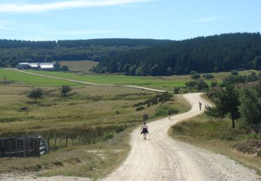
Walking
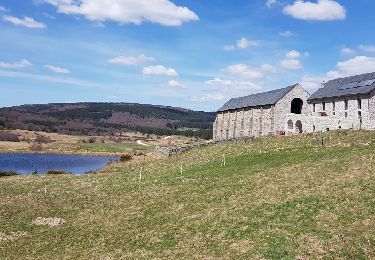
Walking

Walking
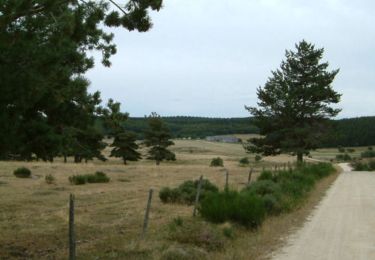
Walking
Walking
Walking
Walking
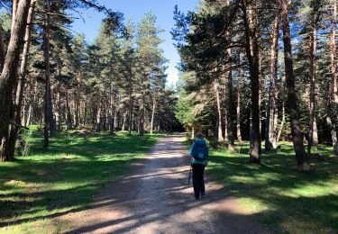
![Trail Walking Saugues - [03] Compostelle : de Saugues à Saint-Alban-sur-Limagnole (Les Faux) - Photo](https://media.geolcdn.com/t/375/260/ext.jpg?maxdim=2&url=https%3A%2F%2Fmedia.geolcdn.com%2Ff%2F4cdf96a3-4480-489b-a106-3d39781190c6.jpg)
Walking
Walking