


La Banne d'Ordanche

vegaligth
User
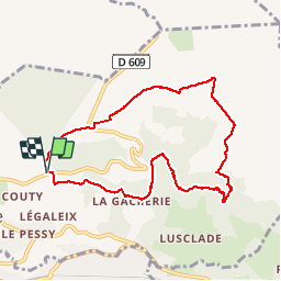

Length
9.2 km

Max alt
1463 m

Uphill gradient
434 m
Km-Effort
15 km

Min alt
1086 m

Downhill gradient
432 m
Boucle
Yes
Creation date :
2014-12-10 00:00:00.0
Updated on :
2014-12-10 00:00:00.0
3h29
Difficulty : Medium

FREE GPS app for hiking
 SityTrail
IGN / Geographical institutes
SityTrail Plus
The world is yours!
About
Trail Walking of 9.2 km to be discovered at Auvergne-Rhône-Alpes, Puy-de-Dôme, Murat-le-Quaire. This trail is proposed by vegaligth.
Description
Départ parking au dessus de Murat suivre balisage PR10 en forêt pour le début pour déboucher ensuite sur les crêtes.
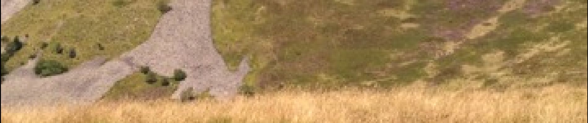
Photos

Positioning
Country:
France
Region :
Auvergne-Rhône-Alpes
Department/Province :
Puy-de-Dôme
Municipality :
Murat-le-Quaire
Location:
Unknown
Start:(Dec)
Start:(UTM)
480545 ; 5049928 (31T) N.
Comments
trop bien