


saigne

marmotte64
User
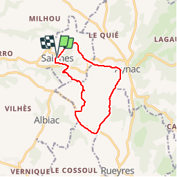

Length
11.1 km

Max alt
434 m

Uphill gradient
238 m
Km-Effort
14.3 km

Min alt
337 m

Downhill gradient
239 m
Boucle
Yes
Creation date :
2014-12-10 00:00:00.0
Updated on :
2014-12-10 00:00:00.0
2h56
Difficulty : Easy

FREE GPS app for hiking
 SityTrail
IGN / Geographical institutes
SityTrail Plus
The world is yours!
About
Trail Walking of 11.1 km to be discovered at Occitania, Lot, Saignes. This trail is proposed by marmotte64.
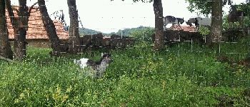
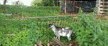
Photos


Positioning
Country:
France
Region :
Occitania
Department/Province :
Lot
Municipality :
Saignes
Location:
Unknown
Start:(Dec)
Start:(UTM)
406346 ; 4960083 (31T) N.
Comments