


Les granges de Moudang

Papamoju
User
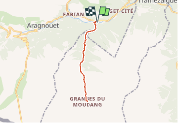

Length
11.3 km

Max alt
1536 m

Uphill gradient
523 m
Km-Effort
18.3 km

Min alt
1054 m

Downhill gradient
523 m
Boucle
Yes
Creation date :
2014-12-10 00:00:00.0
Updated on :
2014-12-10 00:00:00.0
--
Difficulty : Unknown

FREE GPS app for hiking
 SityTrail
IGN / Geographical institutes
SityTrail Plus
The world is yours!
About
Trail Walking of 11.3 km to be discovered at Occitania, Hautespyrenees, Aragnouet. This trail is proposed by Papamoju.
Positioning
Country:
France
Region :
Occitania
Department/Province :
Hautespyrenees
Municipality :
Aragnouet
Location:
Unknown
Start:(Dec)
Start:(UTM)
274826 ; 4740733 (31T) N.
Comments
,, q 2 Cf x ,,c gwddfhfxex ds* /