


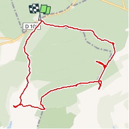

6.5 km | 8.2 km-effort


User


FREE GPS app for hiking
 SityTrail
IGN / Geographical institutes
SityTrail World
The world is yours!
Trail Walking of 9.9 km to be discovered at Grand Est, Meuse, Lamorville. This trail is proposed by fraxin.
Avec JB

Walking

Walking

Equestrian
Walking
Cycle

Cycle
Mountain bike

Walking
Cycle
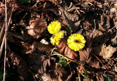
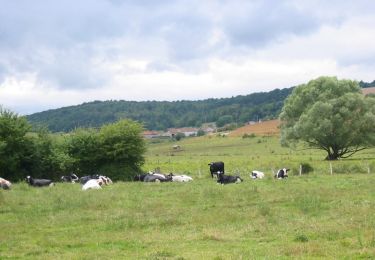
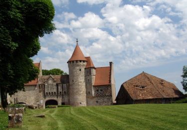
circuit facile et sympa. superbe fontaine gerardin et abbaye de l' étanche si mystérieuse mais pour combien de temps encore :-(très joli circuit forestier