


sardene

wimpy
User

Length
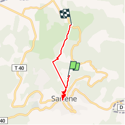
5.9 km

Max alt
307 m

Uphill gradient
185 m
Km-Effort
8.7 km

Min alt
54 m

Downhill gradient
280 m
Boucle
No
Creation date :
2014-12-10 00:00:00.0
Updated on :
2014-12-10 00:00:00.0
1h59
Difficulty : Very easy

FREE GPS app for hiking
 SityTrail
IGN / Geographical institutes
SityTrail Plus
The world is yours!
About
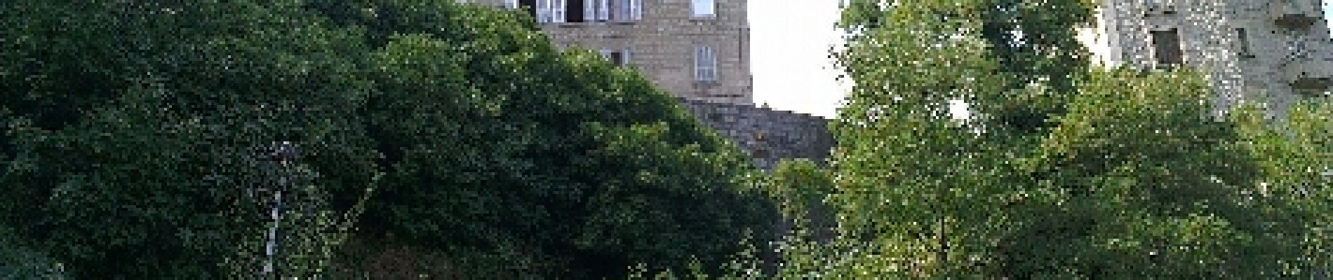
Trail Walking of 5.9 km to be discovered at Corsica, South Corsica, Sartène. This trail is proposed by wimpy.
Photos


Positioning
Country:
France
Region :
Corsica
Department/Province :
South Corsica
Municipality :
Sartène
Location:
Unknown
Start:(Dec)
Start:(UTM)
497808 ; 4608332 (32T) N.
Comments
superbe