Trail Walking Uzès - Uzes et Fontaine d'Eure - Photo

Uzes et Fontaine d'Eure

© OpenStreetMap contributors
Length
Length
4.7 km
Max alt
Max alt
146 m
Uphill gradient
Uphill gradient
80 m
Km-Effort
Km-Effort  
5.8 km
Min alt
Min alt
75 m
Downhill gradient
Downhill gradient
84 m
Boucle
Boucle
Yes
Creation date :
2014-12-10 00:00:00.0
Updated on :
2014-12-10 00:00:00.0

(0 Reviews)

Walking
Walking
2h00
Difficulty : Very easy

Scan this QR Code to open this trail in the SityTrail application

FREE GPS app for hiking

Logo SityTrail SityTrail

IGN / Geographical institutes

Download SityTrail from the App Store Download SityTrail from Google Play

Logo SityTrail SityTrail Plus

The world is yours!

Download SityTrail from the App Store Download SityTrail from Google Play Download SityTrail on Huawei AppGallery

About

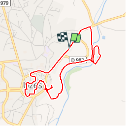
Trail Walking of 4.7 km to be discovered at Occitania, Gard, Uzès. This trail is proposed by jmheydorff.

Description

Pkg de Serrebonnet, au NE d'uzès( à 300m du centre ville); aller au CV, passer, à travers ruelles et placettes, par le palais "Le Duché", les églises et les tours; terminer le CV par la Tour fenestrelle.
Descendre alors dans le vallon et le bois d4Uzès, pour rejoindre la source captée de l'Eure, dont on a amené l'eau jusqu'à Nîmes, par le fameux aqueduc de Nîmes, dont le plus gros vestige est le célébrissime "Pont du gard"

Elevation profile

Positioning

Country:
France
Region :
Occitania
Department/Province :
Gard
Municipality :
Uzès
Location:
Unknown
Start:(UTM)
614307 ; 4874714 (31T) N.


Close
My subscriptions