


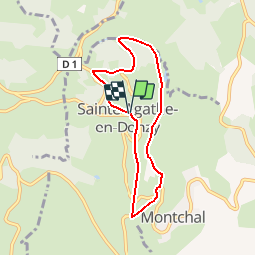


17.3 km | 26 km-effort


User


FREE GPS app for hiking
 SityTrail
IGN / Geographical institutes
SityTrail World
The world is yours!
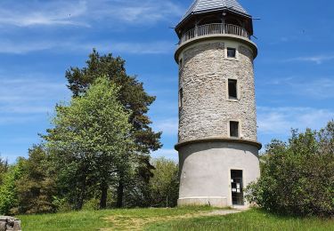
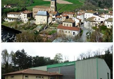
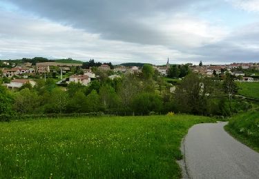
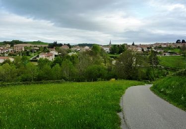
Trail Walking of 6.3 km to be discovered at Auvergne-Rhône-Alpes, Loire, Sainte-Agathe-en-Donzy. This trail is proposed by alain0902.
a faire
Walking
Walking
Walking

Walking
Walking
Mountain bike

Walking
Mountain bike
Mountain bike