


bignac

guizouarn
User
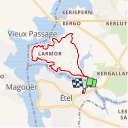

Length
7.1 km

Max alt
18 m

Uphill gradient
55 m
Km-Effort
7.8 km

Min alt
-1 m

Downhill gradient
55 m
Boucle
Yes
Creation date :
2014-12-10 00:00:00.0
Updated on :
2014-12-10 00:00:00.0
1h36
Difficulty : Very easy

FREE GPS app for hiking
 SityTrail
IGN / Geographical institutes
SityTrail Plus
The world is yours!
About
Trail Walking of 7.1 km to be discovered at Brittany, Morbihan, Étel. This trail is proposed by guizouarn.
Description
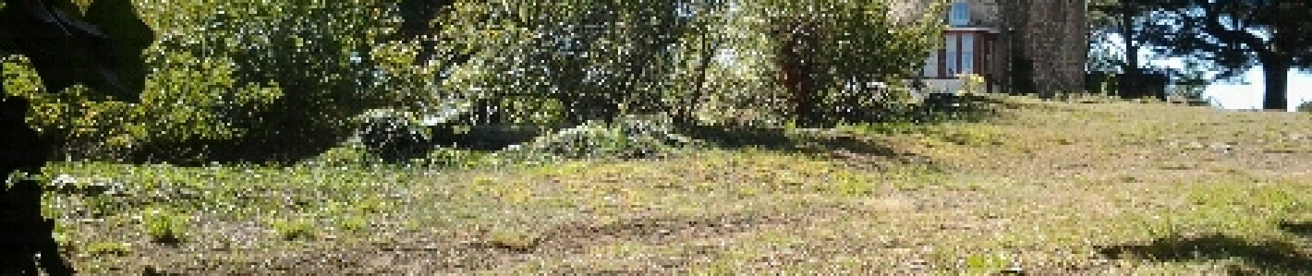
bord de ria
Photos


Positioning
Country:
France
Region :
Brittany
Department/Province :
Morbihan
Municipality :
Étel
Location:
Unknown
Start:(Dec)
Start:(UTM)
485662 ; 5278409 (30T) N.
Comments
Très agréable