


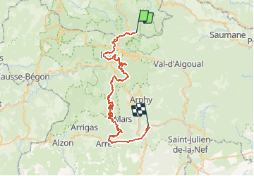
Descente Mont Aougoual - Le Vigan à VTT

xav34830
User

Length
57 km

Max alt
1557 m

Uphill gradient
673 m
Km-Effort
71 km

Min alt
224 m

Downhill gradient
1998 m
Boucle
No
Creation date :
2014-12-10 00:00:00.0
Updated on :
2014-12-10 00:00:00.0
--
Difficulty : Easy

FREE GPS app for hiking
 SityTrail
IGN / Geographical institutes
SityTrail Plus
The world is yours!
About
Trail Mountain bike of 57 km to be discovered at Occitania, Gard, Val-d'Aigoual. This trail is proposed by xav34830.
Positioning
Country:
France
Region :
Occitania
Department/Province :
Gard
Municipality :
Val-d'Aigoual
Location:
Valleraugue
Start:(Dec)
Start:(UTM)
546582 ; 4885536 (31T) N.
Comments