


7.7 km | 17.1 km-effort

User


FREE GPS app for hiking
 SityTrail
IGN / Geographical institutes
SityTrail World
The world is yours!
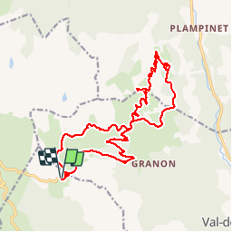
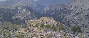
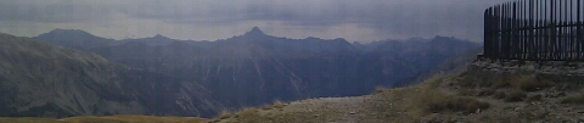
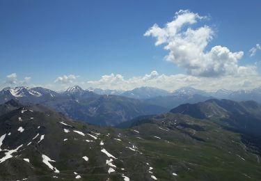
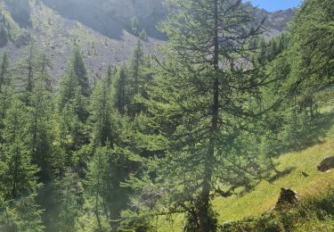
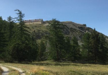
Trail Mountain bike of 21 km to be discovered at Provence-Alpes-Côte d'Azur, Hautes-Alpes, Saint-Chaffrey. This trail is proposed by Vincentetourmy.
piste single


Walking
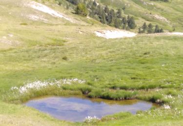
Walking

Mountain bike
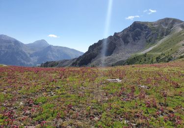
Walking
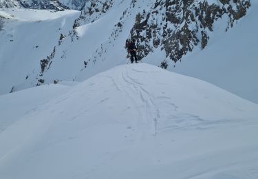
Touring skiing
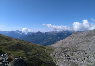
Walking
Walking
Walking
Walking