


marchiennes

svp59
User
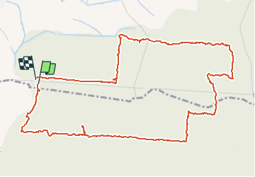

Length
6 km

Max alt
35 m

Uphill gradient
33 m
Km-Effort
6.5 km

Min alt
18 m

Downhill gradient
33 m
Boucle
Yes
Creation date :
2014-12-10 00:00:00.0
Updated on :
2014-12-10 00:00:00.0
1h24
Difficulty : Very easy

FREE GPS app for hiking
 SityTrail
IGN / Geographical institutes
SityTrail Plus
The world is yours!
About
Trail Walking of 6 km to be discovered at Hauts-de-France, Nord, Beuvry-la-Forêt. This trail is proposed by svp59.
Description
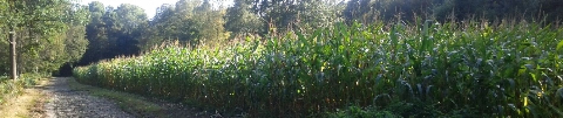
petit tour au départ de Beuvry
Photos


Positioning
Country:
France
Region :
Hauts-de-France
Department/Province :
Nord
Municipality :
Beuvry-la-Forêt
Location:
Unknown
Start:(Dec)
Start:(UTM)
519088 ; 5587320 (31U) N.
Comments