


signal de botrange

jiel2
User
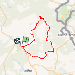

Length
26 km

Max alt
696 m

Uphill gradient
430 m
Km-Effort
32 km

Min alt
515 m

Downhill gradient
429 m
Boucle
No
Creation date :
2014-12-10 00:00:00.0
Updated on :
2014-12-10 00:00:00.0
7h45
Difficulty : Difficult

FREE GPS app for hiking
 SityTrail
IGN / Geographical institutes
SityTrail Plus
The world is yours!
About
Trail Walking of 26 km to be discovered at Wallonia, Liège, Waimes. This trail is proposed by jiel2.
Description
réserve domaniales des Hautes Fagnes : parcours partiel en zone C accompagnateur guide nature obligatoire
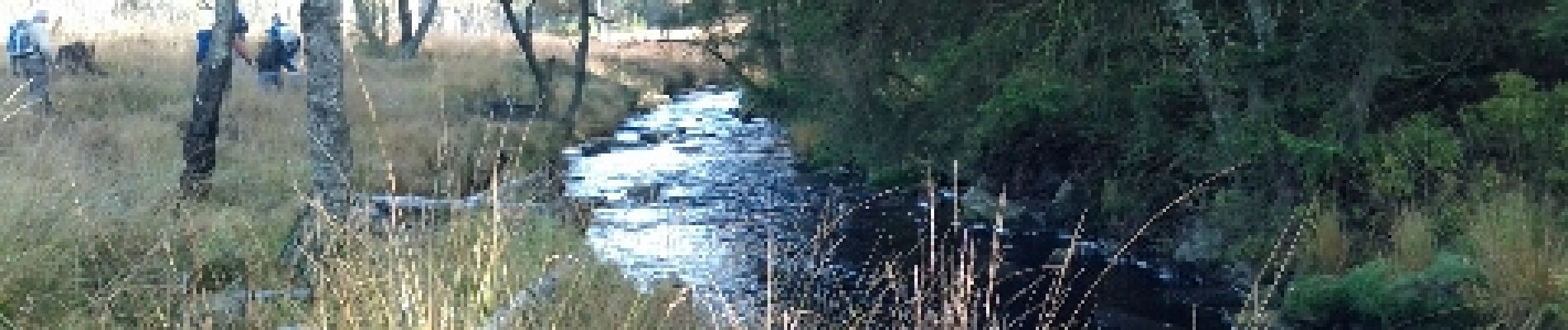
Photos


Positioning
Country:
Belgium
Region :
Wallonia
Department/Province :
Liège
Municipality :
Waimes
Location:
Robertville
Start:(Dec)
Start:(UTM)
293961 ; 5598648 (32U) N.
Comments