


valmasque chevreaux

LUTATIS
User


Length
22 km

Max alt
243 m

Uphill gradient
418 m
Km-Effort
27 km

Min alt
113 m

Downhill gradient
417 m
Boucle
Yes
Creation date :
2014-12-10 00:00:00.0
Updated on :
2014-12-10 00:00:00.0
2h22
Difficulty : Very easy

FREE GPS app for hiking
 SityTrail
IGN / Geographical institutes
SityTrail Plus
The world is yours!
About
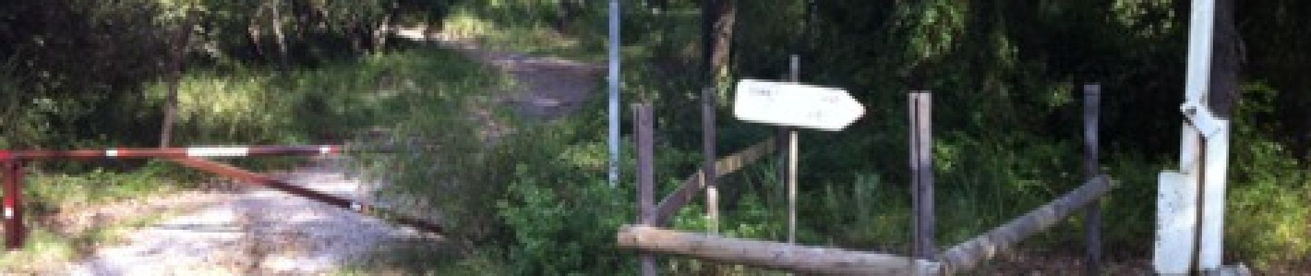
Trail Mountain bike of 22 km to be discovered at Provence-Alpes-Côte d'Azur, Maritime Alps, Valbonne. This trail is proposed by LUTATIS.
Photos

Positioning
Country:
France
Region :
Provence-Alpes-Côte d'Azur
Department/Province :
Maritime Alps
Municipality :
Valbonne
Location:
Unknown
Start:(Dec)
Start:(UTM)
342613 ; 4829804 (32T) N.
Comments
Difficile chemin étroit durée 2 h 45