


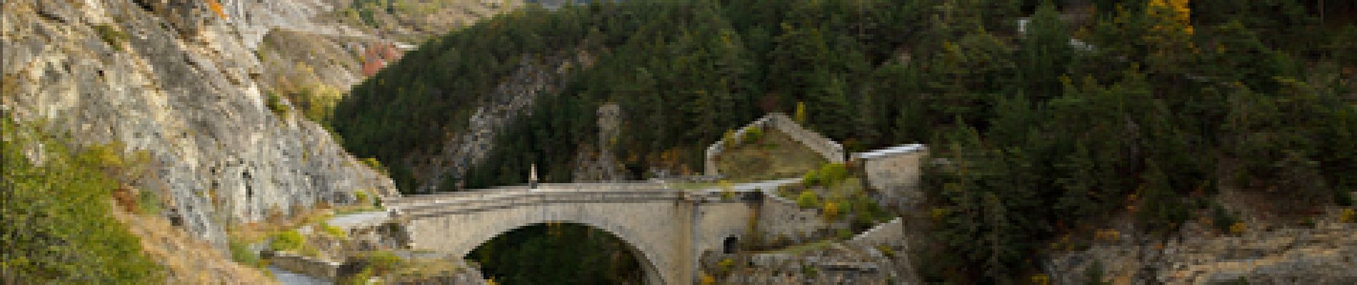
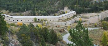
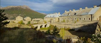
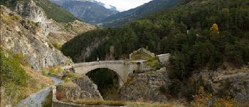
Briancon: Le tour du Fort des 3 Têtes

lhomme.ph
User GUIDE
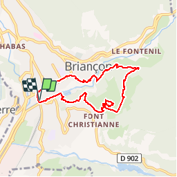

Length
7.7 km

Max alt
1463 m

Uphill gradient
372 m
Km-Effort
12.7 km

Min alt
1207 m

Downhill gradient
371 m
Boucle
Yes
Creation date :
2014-12-10 00:00:00.0
Updated on :
2014-12-10 00:00:00.0
1h50
Difficulty : Medium

FREE GPS app for hiking
 SityTrail
IGN / Geographical institutes
SityTrail Plus
The world is yours!
About
Trail Walking of 7.7 km to be discovered at Provence-Alpes-Côte d'Azur, Hautes-Alpes, Briançon. This trail is proposed by lhomme.ph.
Description
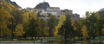
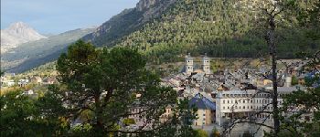
Découverte de Briançon et des fortifications Vauban
Photos


Positioning
Country:
France
Region :
Provence-Alpes-Côte d'Azur
Department/Province :
Hautes-Alpes
Municipality :
Briançon
Location:
Unknown
Start:(Dec)
Start:(UTM)
313135 ; 4973964 (32T) N.
Comments
