


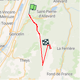


8.5 km | 13.5 km-effort


User


FREE GPS app for hiking
 SityTrail
IGN / Geographical institutes
SityTrail World
The world is yours!
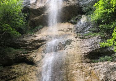
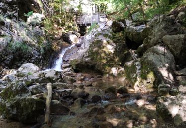
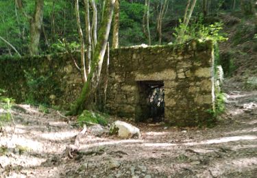
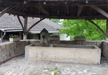
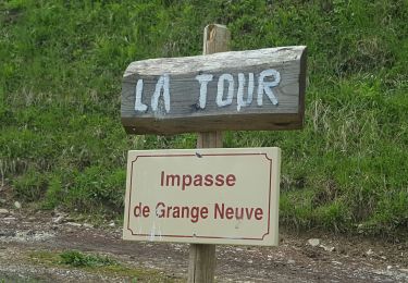
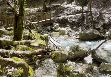
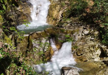
Trail Other activity of 25 km to be discovered at Auvergne-Rhône-Alpes, Isère, Crêts-en-Belledonne. This trail is proposed by alain38660.
ski

Walking
Walking
Walking
Walking
Walking
Walking
Walking
Walking

Snowshoes