


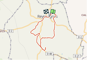


15.9 km | 19.1 km-effort

User


FREE GPS app for hiking
 SityTrail
IGN / Geographical institutes
SityTrail World
The world is yours!
Trail Walking of 7.9 km to be discovered at Occitania, Lot, Reyrevignes. This trail is proposed by gannet1.
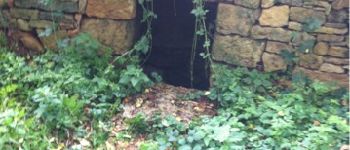
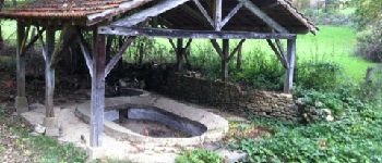
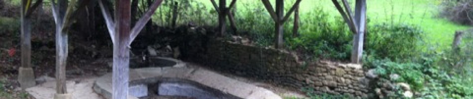
Circuit facile et court intéressant par les nombreux anciens lavoirs sur le parcours.
Testé par le groupe de marche SELM


Walking


Moto cross
Walking
Walking
Walking
Très intéressante petite balade