pr1 valzergues

xamax12
User
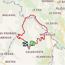

Length
7.4 km

Max alt
463 m

Uphill gradient
234 m
Km-Effort
10.5 km

Min alt
270 m

Downhill gradient
232 m
Boucle
Yes
Creation date :
2014-12-10 00:00:00.0
Updated on :
2014-12-10 00:00:00.0
1h29
Difficulty : Easy

FREE GPS app for hiking
 SityTrail
IGN / Geographical institutes
SityTrail Plus
The world is yours!
About
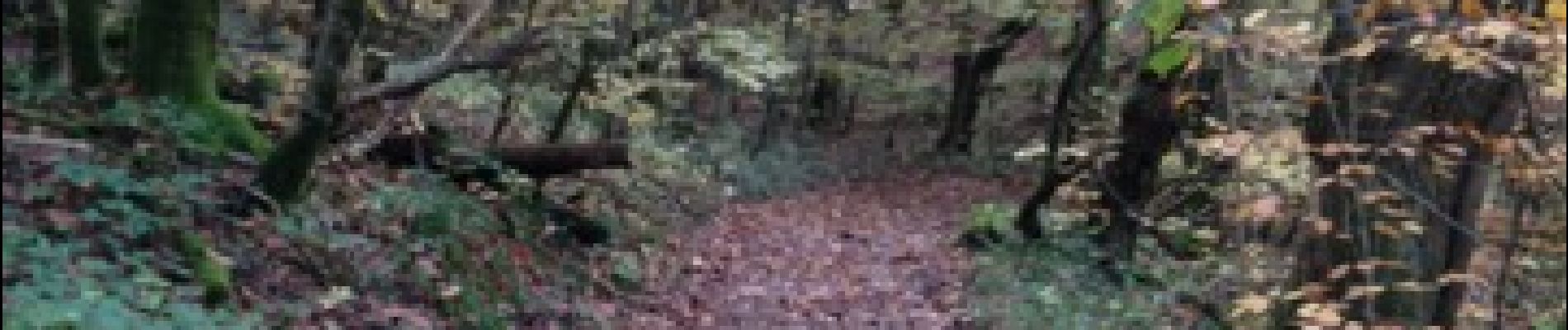
Trail Walking of 7.4 km to be discovered at Occitania, Aveyron, Valzergues. This trail is proposed by xamax12.
Photos


Positioning
Country:
France
Region :
Occitania
Department/Province :
Aveyron
Municipality :
Valzergues
Location:
Unknown
Start:(Dec)
Start:(UTM)
438144 ; 4928537 (31T) N.
Comments