


eigenthal

JorgV
User
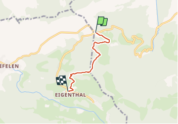

Length
3.4 km

Max alt
1181 m

Uphill gradient
230 m
Km-Effort
6.3 km

Min alt
949 m

Downhill gradient
161 m
Boucle
No
Creation date :
2014-12-10 00:00:00.0
Updated on :
2014-12-10 00:00:00.0
1h03
Difficulty : Unknown

FREE GPS app for hiking
 SityTrail
IGN / Geographical institutes
SityTrail Plus
The world is yours!
About
Trail Walking of 3.4 km to be discovered at Luzern, Unknown, Kriens. This trail is proposed by JorgV.
Photos


Positioning
Country:
Switzerland
Region :
Luzern
Department/Province :
Unknown
Municipality :
Kriens
Location:
Unknown
Start:(Dec)
Start:(UTM)
440731 ; 5208074 (32T) N.
Comments