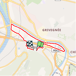
Angleur au fil de l'eau

albert318
User

Length
5.9 km

Max alt
80 m

Uphill gradient
46 m
Km-Effort
6.5 km

Min alt
61 m

Downhill gradient
42 m
Boucle
Yes
Creation date :
2014-12-10 00:00:00.0
Updated on :
2014-12-10 00:00:00.0
1h29
Difficulty : Very easy

FREE GPS app for hiking
 SityTrail
IGN / Geographical institutes
SityTrail Plus
The world is yours!
About
Trail Walking of 5.9 km to be discovered at Wallonia, Liège, Liège. This trail is proposed by albert318.
Description
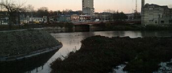
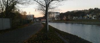
Promenade autour d'angleur par le ravel et les anciens chemins de halage
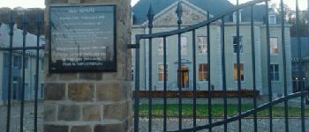
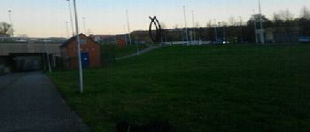
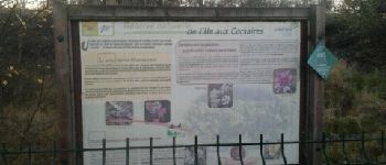
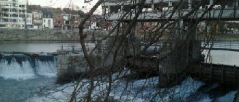
Photos


Positioning
Country:
Belgium
Region :
Wallonia
Department/Province :
Liège
Municipality :
Liège
Location:
Angleur
Start:(Dec)
Start:(UTM)
683650 ; 5609850 (31U) N.
Comments