


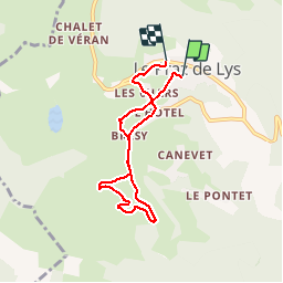


8 km | 16.3 km-effort


User


FREE GPS app for hiking
 SityTrail
IGN / Geographical institutes
SityTrail World
The world is yours!
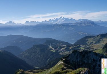
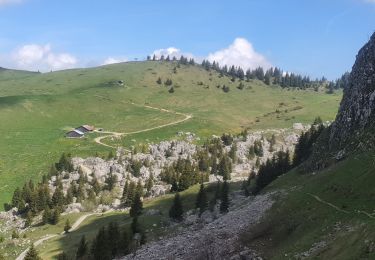
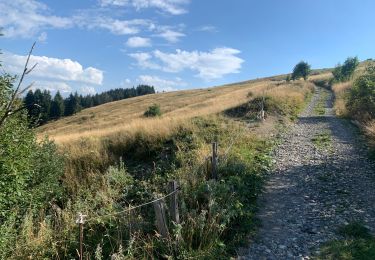
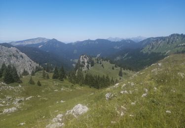
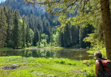
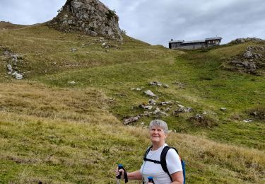
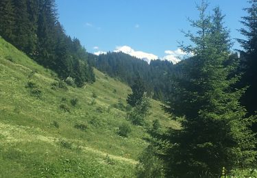
Trail Walking of 6.1 km to be discovered at Auvergne-Rhône-Alpes, Upper Savoy, Taninges. This trail is proposed by sphinkie.
Randonnée facile sous la neige.


Walking
Walking
Walking

Touring skiing
Walking
Walking
Walking
Walking
Walking