


Draguignan-Taradeau

Sugg
User
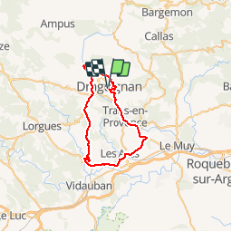

Length
42 km

Max alt
281 m

Uphill gradient
531 m
Km-Effort
49 km

Min alt
46 m

Downhill gradient
531 m
Boucle
Yes
Creation date :
2019-03-22 17:00:26.149
Updated on :
2019-03-22 17:00:26.391
2h48
Difficulty : Medium

FREE GPS app for hiking
 SityTrail
IGN / Geographical institutes
SityTrail Plus
The world is yours!
About
Trail Cycle of 42 km to be discovered at Provence-Alpes-Côte d'Azur, Var, Draguignan. This trail is proposed by Sugg.
Description
Sortie VTT sur la route.
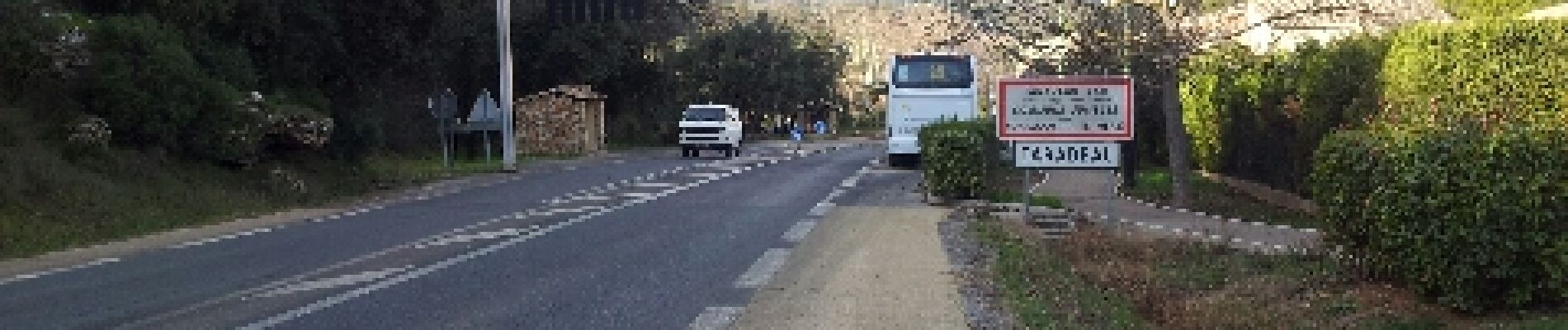
Draguignan, trans, Les Arcs, Taradeau, Col de l'ange, Nartuby, Draguignan.
Photos

Positioning
Country:
France
Region :
Provence-Alpes-Côte d'Azur
Department/Province :
Var
Municipality :
Draguignan
Location:
Unknown
Start:(Dec)
Start:(UTM)
294882 ; 4823280 (32T) N.
Comments
Parcours intéressant notamment au abord de Draguignan dommage qu'il emprunte autant de voie rapide .