


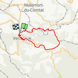

8.1 km | 10.8 km-effort

User


FREE GPS app for hiking
 SityTrail
IGN / Geographical institutes
SityTrail World
The world is yours!
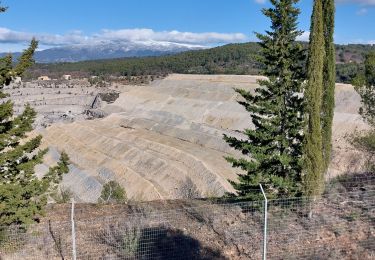
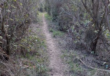
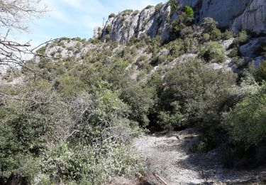
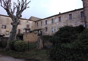
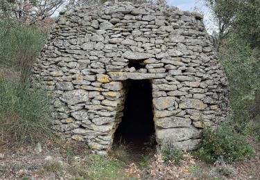
Trail Walking of 13.1 km to be discovered at Provence-Alpes-Côte d'Azur, Vaucluse, Venasque. This trail is proposed by dchevrier.


Motor

Walking
Walking
Walking
Walking
Walking
Walking
Walking
Walking
Belle randonnée,mais beaucoup d’hésitations pour trouver son chemin
super!