


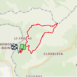

16.6 km | 33 km-effort


User


FREE GPS app for hiking
 SityTrail
IGN / Geographical institutes
SityTrail World
The world is yours!
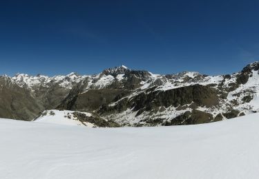
Trail Other activity of 15.5 km to be discovered at Provence-Alpes-Côte d'Azur, Maritime Alps, Belvédère. This trail is proposed by dolphin06200.
On a fait les sangliers ds la foret au retour et gros poussage sur chemin

Walking
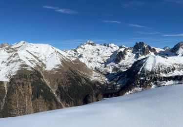
Snowshoes
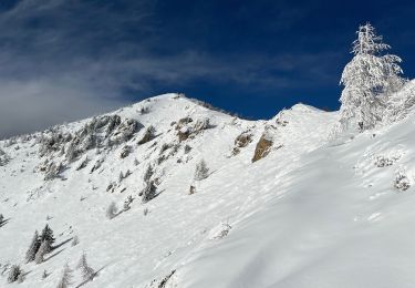
Snowshoes
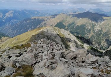
Walking
Walking
Snowshoes
Walking
Walking

On foot