


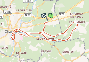
Chemin du bocage et des fours à chaux, via Charolles

tracegps
User


3h00
Difficulty : Medium

FREE GPS app for hiking
 SityTrail
IGN / Geographical institutes
SityTrail Plus
The world is yours!
About
Trail Walking of 11.5 km to be discovered at Bourgogne-Franche-Comté, Saône-et-Loire, Charolles. This trail is proposed by tracegps.
Description
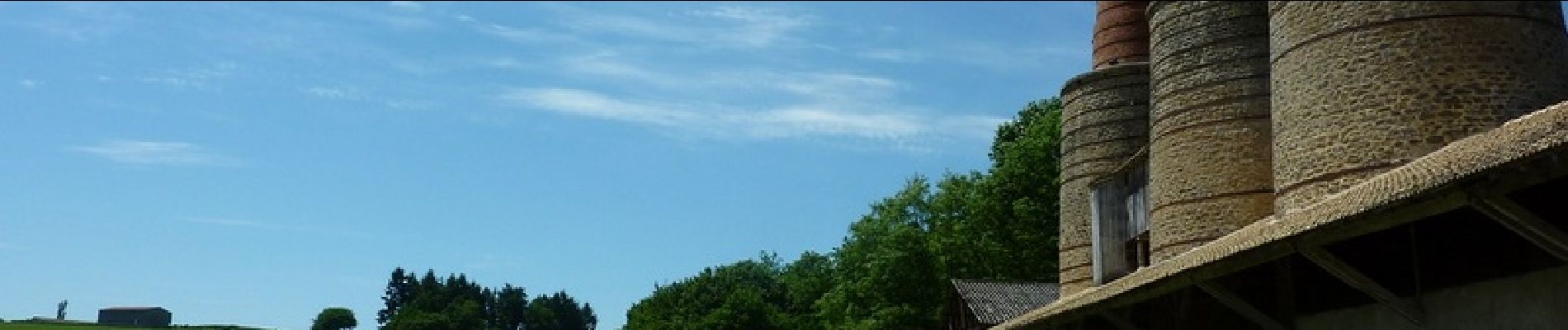
Parking et départ de la Maison du Charolais Petite balade très facile avec un détour par la ville fleurie de Charolles à la découverte de son charme et de ses monuments historiques. La Maison du Charolais est un espace muséographique dédié à la race charolaise, avec entre autre, un restaurant et une boutique de produits dérivés.
Photos


Positioning
Comments