Trail Cycle Saint-Chély-d'Aubrac - Circuit des 10 plus beaux villages de France de l'Aveyron - Aubrac - Le Rozier Peyreleau - Photo

Circuit des 10 plus beaux villages de France de l'Aveyron - Aubrac - Le Rozier Peyreleau

 tracegps
tracegps

User

© OpenStreetMap contributors
Length
Length
112 km
Max alt
Max alt
1353 m
Uphill gradient
Uphill gradient
1714 m
Km-Effort
Km-Effort  
138 km
Min alt
Min alt
348 m
Downhill gradient
Downhill gradient
2622 m
Boucle
Boucle
No
Creation date :
2014-12-10 00:00:00.0
Updated on :
2014-12-10 00:00:00.0

(0 Reviews)

Cycle
Cycle
6h00
Difficulty : Difficult

Scan this QR Code to open this trail in the SityTrail application

FREE GPS app for hiking

Logo SityTrail SityTrail

IGN / Geographical institutes

Download SityTrail from the App Store Download SityTrail from Google Play

Logo SityTrail SityTrail World

The world is yours!

Download SityTrail from the App Store Download SityTrail from Google Play Download SityTrail on Huawei AppGallery

About

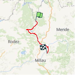
Trail Cycle of 112 km to be discovered at Occitania, Aveyron, Saint-Chély-d'Aubrac. This trail is proposed by tracegps.

Description

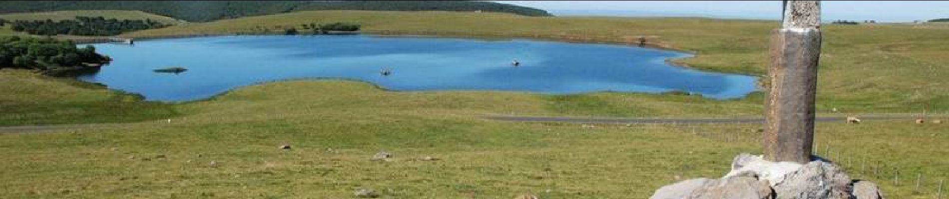
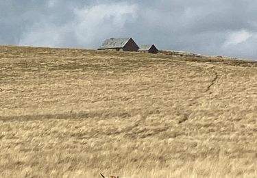
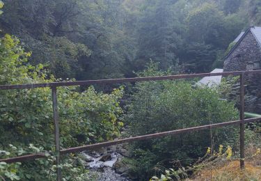
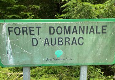
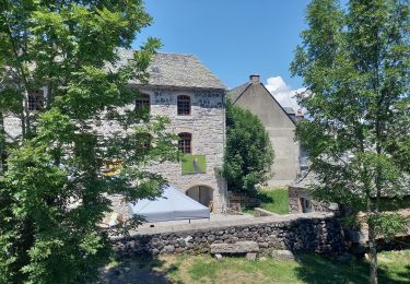
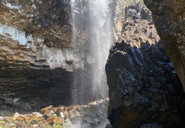
Circuit proposé par le Comité Départemental de Tourisme de l'Aveyron. Au départ de Saint-Chély-d'Aubrac, après la découverte du plateau de l'Aubrac et de ses burons, plongez au cœur de la verte Vallée du Lot pour découvrir les deux villages classés de ce parcours, St Côme d'Olt et Ste Eulalie d'Olt. A mi-chemin, vous changez de paysage ! Arrêtez-vous au point haut des Vignes pour observer les impressionnantes Gorges du Tarn et finissez cette journée dans le petit village du Rozier.

Elevation profile

Photos

Positioning

Country:
France
Region :
Occitania
Department/Province :
Aveyron
Municipality :
Saint-Chély-d'Aubrac
Location:
Unknown
Start:(Dec)
Start:(UTM)
498921 ; 4940950 (31T) N.

Trails nearby

Trail Walking Saint-Chély-d'Aubrac - Aubrac - St Côme d'Olt - Chemin de St-Jacques de Compostelle - Photo
Walking
tracegps

Walking

Very difficult
(1)
Saint-Chély-d'Aubrac, Occitania, Aveyron, France
23 km | 30 km-effort
5h 0min
No
Trail Walking Curières - Le Devez cascade et forêts  - Photo
Walking
GUIDE
nadinebondoux

Walking

Easy
Curières, Occitania, Aveyron, France
11 km | 15.4 km-effort
3h 22min
Yes
Trail On foot Nasbinals - chemin de Saint-Jacques-de-Compostelle pour randonneurs avec animaux (chien, ane, cheval) ou VTT - Photo
On foot
PRO

On foot

Easy
Nasbinals, Occitania, Lozère, France
5.7 km | 7.3 km-effort
1h 38min
No
Trail Walking Nasbinals - Nasbinals col d’Aubrac Montorzier - Photo
Walking
GUIDE
antignacs

Walking

Medium
Nasbinals, Occitania, Lozère, France
23 km | 28 km-effort
5h 51min
Yes
Trail Walking Nasbinals - Montorzier Croix de Vaysse Croix de Rodes - Photo
Walking
GUIDE
antignacs

Walking

Easy
Nasbinals, Occitania, Lozère, France
15.4 km | 19.6 km-effort
4h 13min
Yes
Trail Walking Saint-Chély-d'Aubrac - Compostelle / Chemin du Puy : de Aubrac à Bonneval - Photo
Walking
webmammuth

Walking

Difficult
Saint-Chély-d'Aubrac, Occitania, Aveyron, France
33 km | 46 km-effort
11h 0min
No
Trail Walking Curières - Cascade du devèz et fosse à loup - Photo
Walking
GUIDE
Roger Philippe Wallez

Walking

Difficult
Curières, Occitania, Aveyron, France
10.8 km | 15 km-effort
4h 7min
Yes
Trail Walking Nasbinals - Cascade De Roc depuis Nasbinals - Photo
Walking
GUIDE
nadinebondoux

Walking

Easy
Nasbinals, Occitania, Lozère, France
13.4 km | 16.3 km-effort
4h 52min
Yes
Trail Walking Nasbinals - Nasbinal Cascade du Deroc - Photo
Walking
GUIDE
Roger Philippe Wallez

Walking

Difficult
Nasbinals, Occitania, Lozère, France
12.6 km | 15.8 km-effort
4h 56min
Yes


Close
My subscriptions