


O2bikers_56_boncelles

O2 bikers
Randonnées de O2bikers GUIDE+

Length
28 km

Max alt
282 m

Uphill gradient
473 m
Km-Effort
35 km

Min alt
68 m

Downhill gradient
473 m
Boucle
Yes
Creation date :
2014-12-11 00:00:00.0
Updated on :
2014-12-11 00:00:00.0
4h05
Difficulty : Unknown

FREE GPS app for hiking
 SityTrail
IGN / Geographical institutes
SityTrail Plus
The world is yours!
About
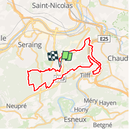
Trail Mountain bike of 28 km to be discovered at Wallonia, Liège, Liège. This trail is proposed by O2 bikers.
Positioning
Country:
Belgium
Region :
Wallonia
Department/Province :
Liège
Municipality :
Liège
Location:
Angleur
Start:(Dec)
Start:(UTM)
680571 ; 5605816 (31U) N.
Comments
La partie du tracé entre le Bol d'Air et Boncelles est inaccessible à cause des nouvelles clôtures du Standard. Itinéraire bis difficile à trouver. Peut-être via l'allée du Beau Vivier ?