Du Viala du Pas de Jaux à Saint Paul des Fonts

tracegps
User
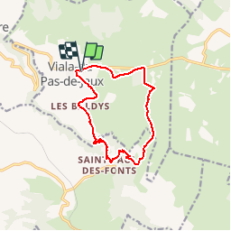

Length
12.3 km

Max alt
851 m

Uphill gradient
367 m
Km-Effort
17.2 km

Min alt
534 m

Downhill gradient
368 m
Boucle
Yes
Creation date :
2014-12-10 00:00:00.0
Updated on :
2014-12-10 00:00:00.0
4h30
Difficulty : Medium

FREE GPS app for hiking
 SityTrail
IGN / Geographical institutes
SityTrail Plus
The world is yours!
About
Trail Walking of 12.3 km to be discovered at Occitania, Aveyron, Viala-du-Pas-de-Jaux. This trail is proposed by tracegps.
Description
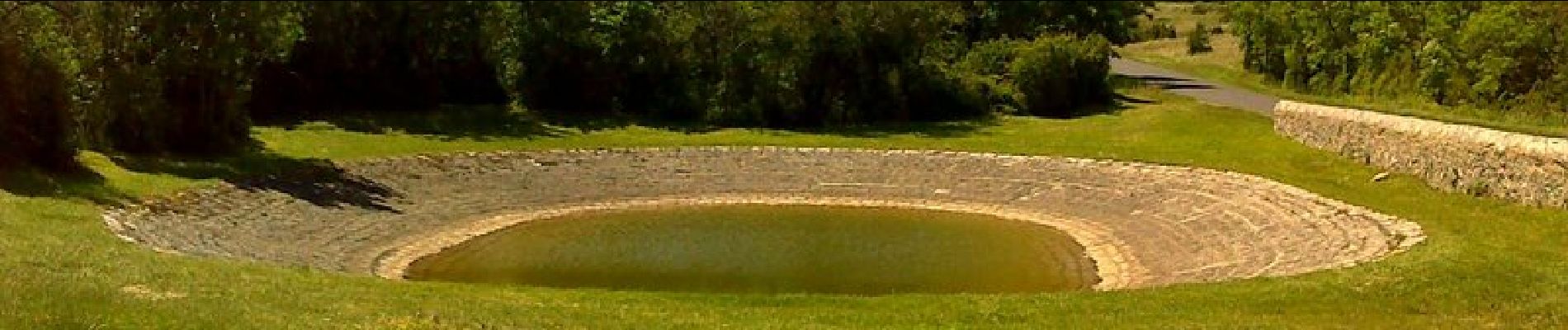
Belle balade du Viala du Pas de Jaux à Saint Paul des Fonts. Beau sentier pour descendre à Saint Paul, mais il faudra remonter, et oui ! Bonne balade.
Photos


Positioning
Country:
France
Region :
Occitania
Department/Province :
Aveyron
Municipality :
Viala-du-Pas-de-Jaux
Location:
Unknown
Start:(Dec)
Start:(UTM)
504714 ; 4867081 (31T) N.
Comments