


21 km | 25 km-effort

User


FREE GPS app for hiking
 SityTrail
IGN / Geographical institutes
SityTrail World
The world is yours!
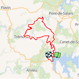
Trail Mountain bike of 35 km to be discovered at Occitania, Aveyron, Arvieu. This trail is proposed by tracegps.
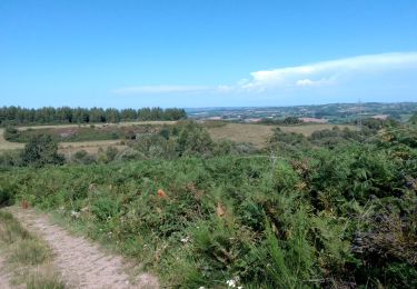
Voici une boucle de 35 Km avec de superbes paysages. Attention quelques descentes techniques avec des pièges. Circuit très physique peut de repos pour les jambes. Voici un LIEN si vous souhaitez voir plus de photos et quelques vidéos. Bonne balade à vous !


Mountain bike
Walking
Mountain bike
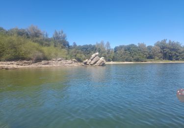
Canoe - kayak
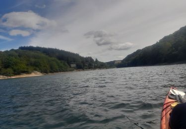
Canoe - kayak
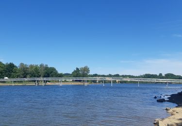
Walking
Walking
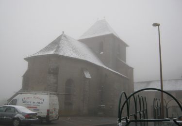
Walking
Mountain bike