Trail Cycle Saint-Germain-sur-Eaulne - Le Carré - Saint Germain sur Eaulne - Photo

Le Carré - Saint Germain sur Eaulne

 tracegps
tracegps

User

© OpenStreetMap contributors
Length
Length
28 km
Max alt
Max alt
248 m
Uphill gradient
Uphill gradient
433 m
Km-Effort
Km-Effort  
34 km
Min alt
Min alt
97 m
Downhill gradient
Downhill gradient
435 m
Boucle
Boucle
Yes
Creation date :
2014-12-10 00:00:00.0
Updated on :
2014-12-10 00:00:00.0

(0 Reviews)

Cycle
Cycle
2h30
Difficulty : Medium

Scan this QR Code to open this trail in the SityTrail application

FREE GPS app for hiking

Logo SityTrail SityTrail

IGN / Geographical institutes

Download SityTrail from the App Store Download SityTrail from Google Play

Logo SityTrail SityTrail World

The world is yours!

Download SityTrail from the App Store Download SityTrail from Google Play Download SityTrail on Huawei AppGallery

About

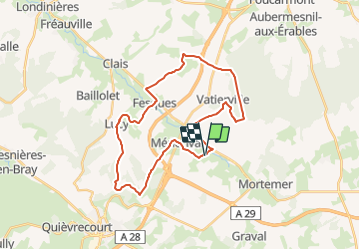
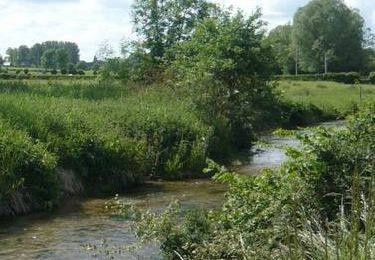
Trail Cycle of 28 km to be discovered at Normandy, Seine-Maritime, Saint-Germain-sur-Eaulne. This trail is proposed by tracegps.

Description

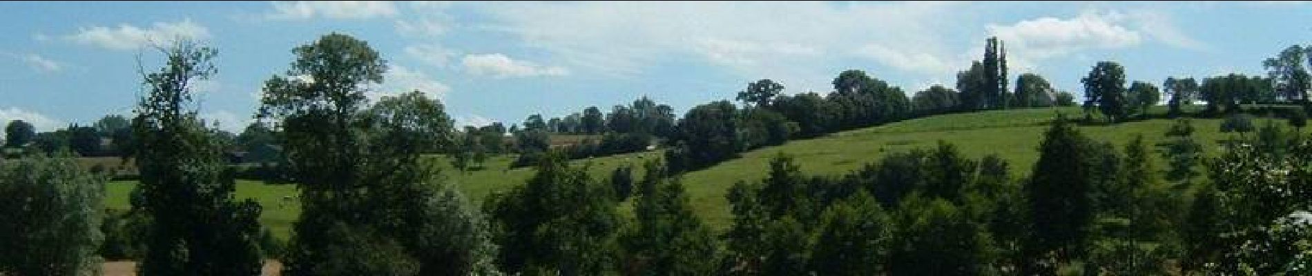
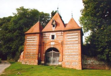
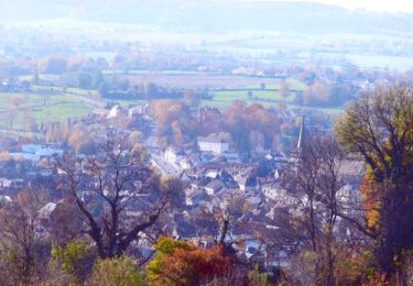
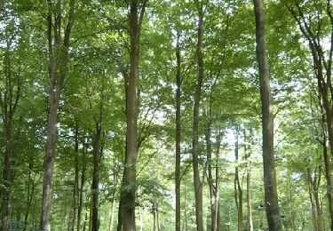
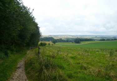
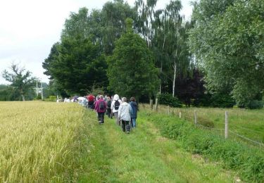
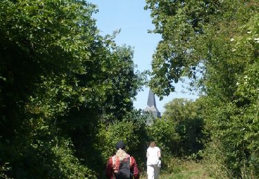
Circuit proposé par l'Office de Tourisme du Pays de Neufchâtelois. Départ de l'église. Ce circuit vous offrira de superbes points de vue sur la vallée de l’Eaulne. La curiosité principale de Fesques est son marais (renseignements auprès du Conservatoire des sites naturels de Haute-Normandie : 02 35 65 47 10). Après avoir longé la basse forêt d’Eu, levez les yeux sur le clocher de l’église de Vatierville : d’inspiration romane, il est carré et unique dans la région.

Elevation profile

Photos

Positioning

Country:
France
Region :
Normandy
Department/Province :
Seine-Maritime
Municipality :
Saint-Germain-sur-Eaulne
Location:
Unknown
Start:(Dec)
Start:(UTM)
392748 ; 5513704 (31U) N.

Trails nearby

Trail Walking Mortemer - Aux sources de l'Eaulne - Mortemer - Photo
Walking
tracegps

Walking

Medium
(1)
Mortemer, Normandy, Seine-Maritime, France
10.7 km | 12.9 km-effort
2h 45min
Yes
Trail Mountain bike Neufchâtel-en-Bray - Le tour du Pays Neufchâtelois - Neufchâtel en Bray - Photo
Mountain bike
tracegps

Mountain bike

Very difficult
Neufchâtel-en-Bray, Normandy, Seine-Maritime, France
111 km | 134 km-effort
11h 0min
Yes
Trail Mountain bike Lucy - A partir de Lucy - Photo
Mountain bike
tracegps

Mountain bike

Easy
Lucy, Normandy, Seine-Maritime, France
18.2 km | 23 km-effort
1h 45min
Yes
Trail Mountain bike Fesques - A partir de Fesques - Photo
Mountain bike
tracegps

Mountain bike

Easy
Fesques, Normandy, Seine-Maritime, France
16.8 km | 20 km-effort
1h 30min
Yes
Trail Mountain bike Sainte-Beuve-en-Rivière - A partir de Ste-Beuve-en-Rivière - Photo
Mountain bike
tracegps

Mountain bike

Medium
Sainte-Beuve-en-Rivière, Normandy, Seine-Maritime, France
19.4 km | 24 km-effort
2h 0min
Yes
Trail Walking Lucy - La forêt de Ménonval - Lucy - Photo
Walking
tracegps

Walking

Difficult
Lucy, Normandy, Seine-Maritime, France
12.7 km | 15.3 km-effort
3h 15min
Yes
Trail Walking Flamets-Frétils - La mare aux Daims - Flamets-Fretils - Photo
Walking
tracegps

Walking

Difficult
Flamets-Frétils, Normandy, Seine-Maritime, France
13.9 km | 17.2 km-effort
3h 30min
Yes
Trail Walking Sainte-Beuve-en-Rivière - Au fil de l'Eaulne - Sainte Beuve en Rivière - Photo
Walking
tracegps

Walking

Difficult
Sainte-Beuve-en-Rivière, Normandy, Seine-Maritime, France
12.2 km | 15 km-effort
3h 4min
Yes
Trail Walking Fesques - Randonnée à partir de Fesques - Photo
Walking
tracegps

Walking

Medium
Fesques, Normandy, Seine-Maritime, France
11.5 km | 14 km-effort
2h 55min
Yes


Close
My subscriptions