


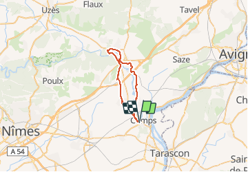

15.3 km | 17.6 km-effort

User


FREE GPS app for hiking
 SityTrail
IGN / Geographical institutes
SityTrail World
The world is yours!
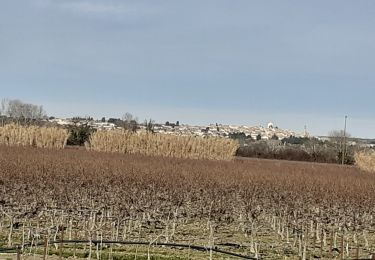
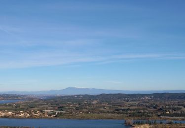
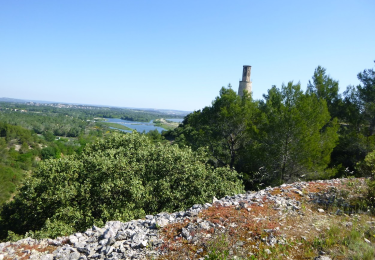
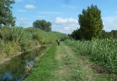
Trail Mountain bike of 35 km to be discovered at Occitania, Gard, Comps. This trail is proposed by tracegps.
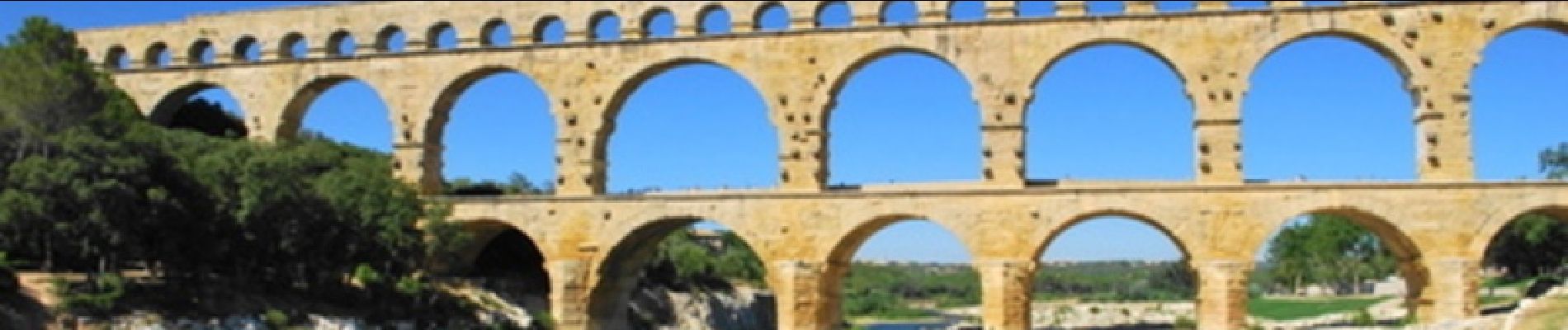
Ce circuit part en suivant la rive gauche du Gard jusqu'au pont du Gard et revient en bordure des costières sur la rive droite en empruntant en partie le GR6. De très belles vues sur la vallée du Rhône et les Alpilles. Peut se faire en VTC.


Walking
Walking

Walking
Walking
Walking
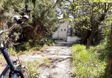
Hybrid bike
Walking
Mountain bike