


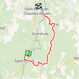
De Saint-Urcize à La Chaldette

tracegps
User


4h30
Difficulty : Difficult

FREE GPS app for hiking
 SityTrail
IGN / Geographical institutes
SityTrail Plus
The world is yours!
About
Trail Walking of 18 km to be discovered at Auvergne-Rhône-Alpes, Cantal, Saint-Urcize. This trail is proposed by tracegps.
Description
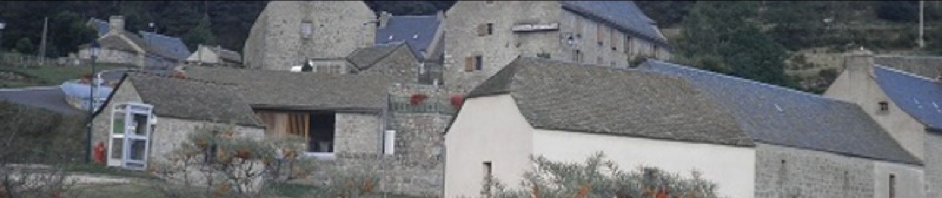
Départ de St-Urcize, de la cours devant l'hôtel Remise. Un tour à Recoules-d'Aubrac dans une zone rocheuse. Descendre au pont Gournier puis par les prairies on parvient à La Chaldette, une petite station thermale.
Photos


Positioning
Comments