


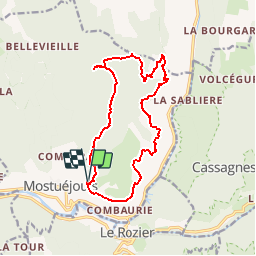

27 km | 40 km-effort

User


FREE GPS app for hiking
 SityTrail
IGN / Geographical institutes
SityTrail World
The world is yours!
Trail Walking of 15.4 km to be discovered at Occitania, Aveyron, Mostuéjouls. This trail is proposed by tracegps.
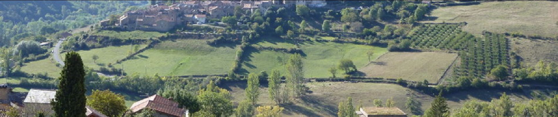
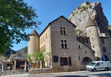
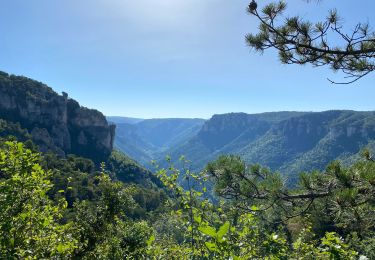
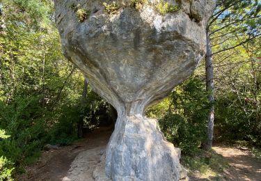
Villages troglodytes et vautours, les gorges du Tarn en plus. Parking au dessus du village. Panneau explicatif des randos du village. Descendre dans les ruelles pavées du village (balisage jaune)suivre la route goudronnée un court moment et prendre à gauche un sentier montant dans les restanques. Arrivé en surplomb du Tarn, le sentier devient horizontal. Passer un premier village troglodytique, les Eglazines. Poursuivre à plat dans le cirque vers St Marcellin. Traverser le hameau et monter sur le plateau en passant devant une grotte bergerie. S'aider du balisage jaune et aller visiter la ferme de Vors en aller retour. Prendre à gauche un sentier qui ramène a Liaucous. Bonne rando, sans oublier une paire de jumelles et l'appareil photo.


Walking
Walking

Walking
Walking
Walking
Walking
Walking
Walking
Walking
magnifique rando du début à la fin.