


21 km | 30 km-effort


User


FREE GPS app for hiking
 SityTrail
IGN / Geographical institutes
SityTrail World
The world is yours!
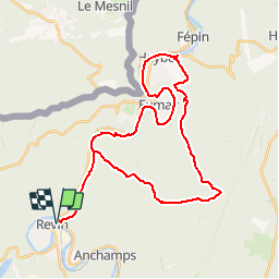
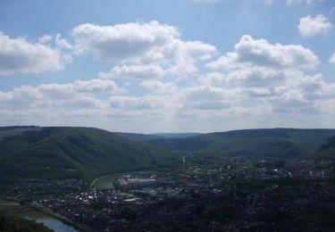
Trail Mountain bike of 36 km to be discovered at Grand Est, Ardennes, Revin. This trail is proposed by tracegps.
Petite sortie d'environ 35 km. Départ de la place de la République. A éviter par temps humide car vraiment trop de boue et donc la descente vers Haybes n'est vraiment pas agréable.


Walking
Walking
Walking

Walking

Walking

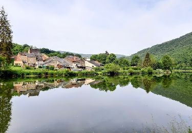
Mountain bike
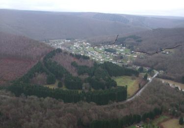
Mountain bike
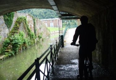
Mountain bike
Mountain bike