


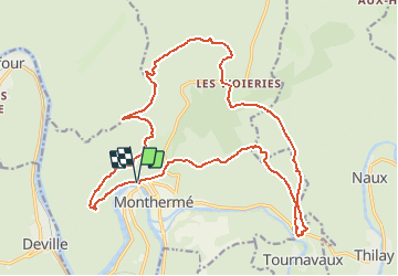

15.3 km | 21 km-effort

User


FREE GPS app for hiking
 SityTrail
IGN / Geographical institutes
SityTrail World
The world is yours!
Trail Walking of 20 km to be discovered at Grand Est, Ardennes, Monthermé. This trail is proposed by tracegps.
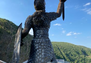
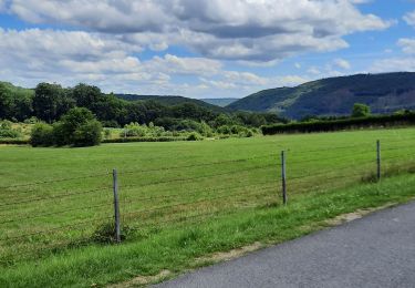
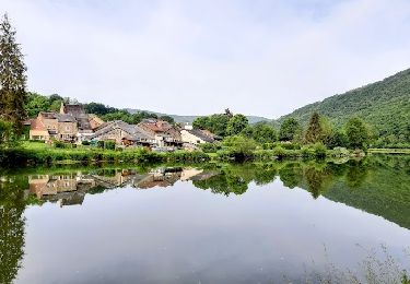
Variété de paysages (anciennes carrières de la Longue Roche , des Cerceaux, Roc la Tour , Roche Aux Corpias,...). Peu avant le point de vue de la Roche aux Corpias (corbeaux), prendre un petit sentier escarpé et une courte échelle pour aller au pied des voies d'escalade; ce passage peut rebuter des non sportifs ou personnes peu téméraires: on peut l'éviter en continuant le chemin passant par le sommet de la falaise vers la route en contre-bas. A VTT certains passages doivent être évités et il faudra pousser le vélo à plusieurs reprises à réserver aux pros E.T.


Walking

Walking

Walking
Walking
Walking
Walking
Walking
Walking