


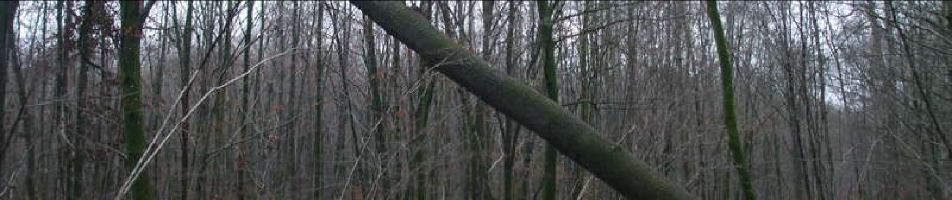
Forêt domaniale de Signy l'Abbaye

tracegps
User


2h15
Difficulty : Difficult

FREE GPS app for hiking
 SityTrail
IGN / Geographical institutes
SityTrail Plus
The world is yours!
About
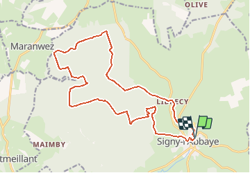
Trail Mountain bike of 19 km to be discovered at Grand Est, Ardennes, Signy-l'Abbaye. This trail is proposed by tracegps.
Description
Boucle essentiellement forestière alternant les chemins roulants avec ceux dont la boue et les feuilles mortes ralentissent la progression. En hiver et par temps pluvieux, certains chemins sont désagréables tant il faut pousser le vtt, MAIS, pas de chasseurs le dimanche dans cette forêt domaniale. Juste au départ, ne pas s'étonner de passer par une usine. Au retour, on passe par les cabanes perchées et le parcours d’accrobranche. Le parcours a des sections communes avec le circuit FFCT 59.
Photos


Positioning
Comments