


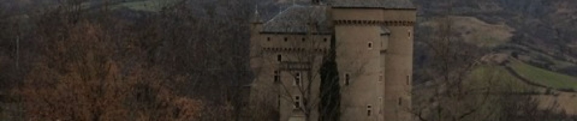
les 3 chateaux

colber
User
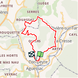

Length
16.3 km

Max alt
629 m

Uphill gradient
459 m
Km-Effort
22 km

Min alt
453 m

Downhill gradient
462 m
Boucle
Yes
Creation date :
2014-12-10 00:00:00.0
Updated on :
2014-12-10 00:00:00.0
3h53
Difficulty : Very easy

FREE GPS app for hiking
 SityTrail
IGN / Geographical institutes
SityTrail Plus
The world is yours!
About
Trail Walking of 16.3 km to be discovered at Occitania, Aveyron, Compeyre. This trail is proposed by colber.
Description
Rando facile
Photos


Positioning
Country:
France
Region :
Occitania
Department/Province :
Aveyron
Municipality :
Compeyre
Location:
Unknown
Start:(Dec)
Start:(UTM)
507922 ; 4889827 (31T) N.
Comments