


Finhaut J4

fpitance
User
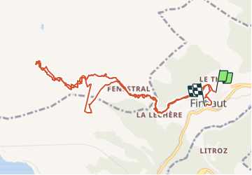

Length
13.7 km

Max alt
2558 m

Uphill gradient
1367 m
Km-Effort
32 km

Min alt
1229 m

Downhill gradient
1445 m
Boucle
No
Creation date :
2014-12-10 00:00:00.0
Updated on :
2014-12-10 00:00:00.0
5h00
Difficulty : Medium

FREE GPS app for hiking
 SityTrail
IGN / Geographical institutes
SityTrail Plus
The world is yours!
About
Trail Winter sports of 13.7 km to be discovered at Valais/Wallis, Saint-Maurice, Finhaut. This trail is proposed by fpitance.
Description
Ca devait être finhaut marecotte, ce fut finhaut-finhaut pour risque d'avalanche
Positioning
Country:
Switzerland
Region :
Valais/Wallis
Department/Province :
Saint-Maurice
Municipality :
Finhaut
Location:
Unknown
Start:(Dec)
Start:(UTM)
343703 ; 5105431 (32T) N.
Comments