


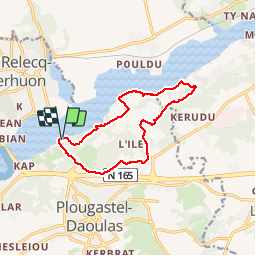


49 km | 61 km-effort

Promenez-vous au bout du monde !


FREE GPS app for hiking
 SityTrail
IGN / Geographical institutes
SityTrail World
The world is yours!
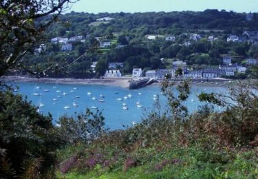
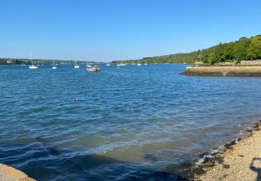
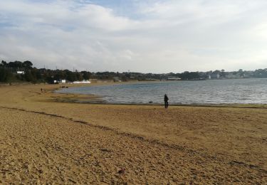
Trail Walking of 11.4 km to be discovered at Brittany, Finistère, Plougastel-Daoulas. This trail is proposed by Balades en Finistère.
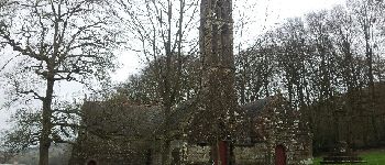
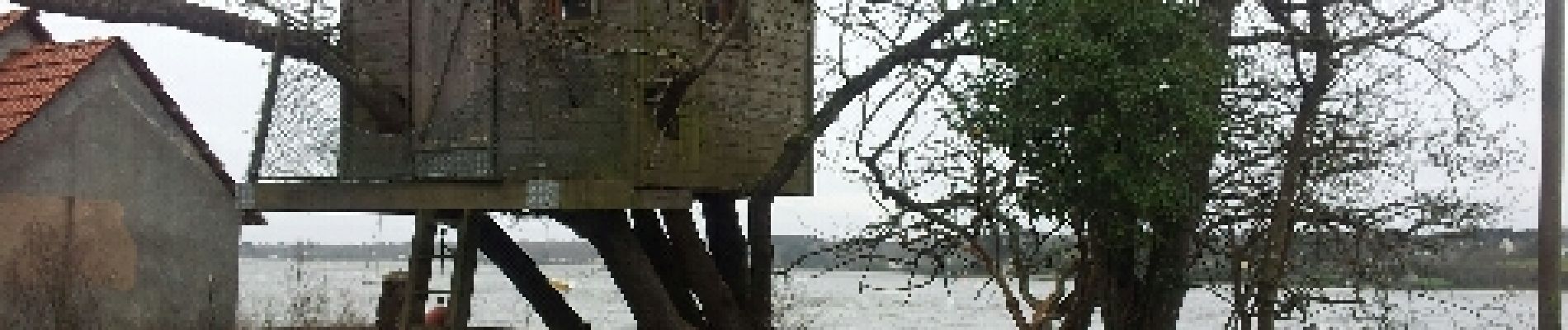
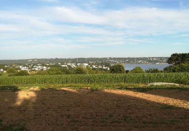
Du passage vers la chappelle Saint Jean le long de l'Elorn et retour par le Cosquer Saint Jean et Kervern. Très jolis panorama sur l'Elorn et l'Est de la rade de Brest


Mountain bike

Walking

Walking
Running

Walking
Walking
Walking
Walking
Walking
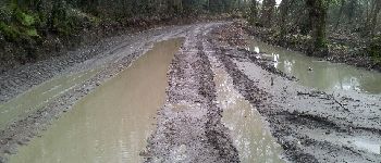
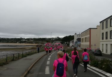
Attention erreur dans ce circuit. Nous n’avons pas pu traverser au niveau du silo (voie privée) et avon du reprendre la grande route Landerneau/Plougastel pour retrouver notre véhicule. Résultat 20 kilomètres de marche au lieu de 11 kilomètres annoncés. Pas cool !