


ste hyppolitr

colber
User
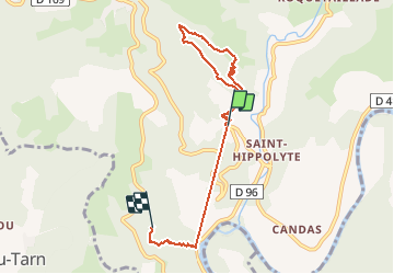

Length
7.3 km

Max alt
533 m

Uphill gradient
423 m
Km-Effort
12.6 km

Min alt
339 m

Downhill gradient
334 m
Boucle
No
Creation date :
2014-12-10 00:00:00.0
Updated on :
2014-12-10 00:00:00.0
1h51
Difficulty : Unknown

FREE GPS app for hiking
 SityTrail
IGN / Geographical institutes
SityTrail Plus
The world is yours!
About
Trail Walking of 7.3 km to be discovered at Occitania, Aveyron, Montjaux. This trail is proposed by colber.
Description
Rando moyenne
Positioning
Country:
France
Region :
Occitania
Department/Province :
Aveyron
Municipality :
Montjaux
Location:
Unknown
Start:(Dec)
Start:(UTM)
493222 ; 4881465 (31T) N.
Comments