Trail Walking Cléré-les-Pins - Cléré-les-pins - Photo
 LEMENIO
LEMENIO

User

© OpenStreetMap contributors
Length
Length
13.6 km
Max alt
Max alt
119 m
Uphill gradient
Uphill gradient
103 m
Km-Effort
Km-Effort  
15 km
Min alt
Min alt
92 m
Downhill gradient
Downhill gradient
104 m
Boucle
Boucle
Yes
Creation date :
2014-12-10 00:00:00.0
Updated on :
2014-12-10 00:00:00.0

(0 Reviews)

Walking
Walking
3h18
Difficulty : Medium

Scan this QR Code to open this trail in the SityTrail application

FREE GPS app for hiking

Logo SityTrail SityTrail

IGN / Geographical institutes

Download SityTrail from the App Store Download SityTrail from Google Play

Logo SityTrail SityTrail World

The world is yours!

Download SityTrail from the App Store Download SityTrail from Google Play Download SityTrail on Huawei AppGallery

About

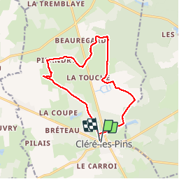
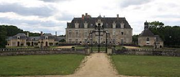
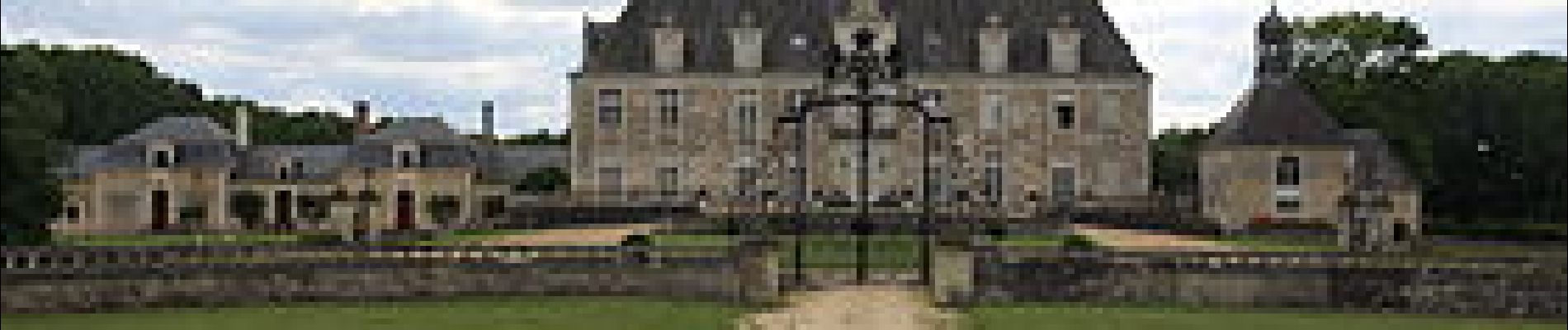
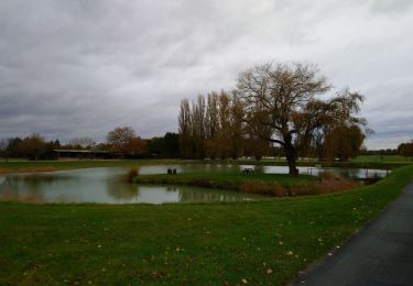
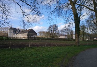
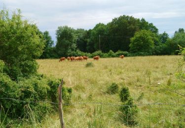
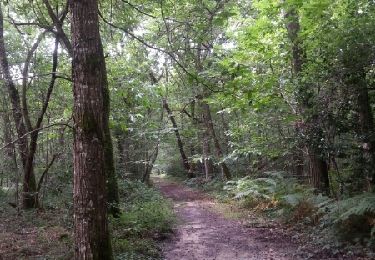
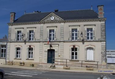
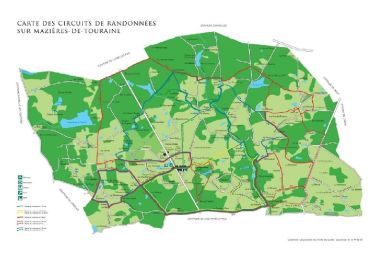
Trail Walking of 13.6 km to be discovered at Centre-Loire Valley, Indre-et-Loire, Cléré-les-Pins. This trail is proposed by LEMENIO.

Description

Départ place du champ de foire (sortie du bourg - route de Savigné-sur Lathan)
         

Elevation profile

Photos

Points of interest

Point of interest Cléré-les-Pins - Aller tout droit - Photo
LEMENIO
CLÉRÉ-LES-PINS 
Point of interest Cléré-les-Pins - Belle maison - Photo
LEMENIO
CLÉRÉ-LES-PINS 
Point of interest Cléré-les-Pins - Château de Champchevrier - Photo
LEMENIO
CLÉRÉ-LES-PINS 

Positioning

Country:
France
Region :
Centre-Loire Valley
Department/Province :
Indre-et-Loire
Municipality :
Cléré-les-Pins
Location:
Unknown
Start:(UTM)
302916 ; 5255823 (31T) N.

Trails nearby

Trail Walking Ambillou - Ambillou - GRP Castelvalérie Château Champchevrier - 23.2km 165m 5h10 (30mn) - 2023 11 08 - Photo
Walking
Orcal37

Walking

Easy
Ambillou, Centre-Loire Valley, Indre-et-Loire, France
23 km | 25 km-effort
5h 10min
Yes
Trail Walking Cléré-les-Pins - Cléré-les-Pins - GRP Castelvalérie - 13.4km 90m 2h50 - 2023 03 25 - Photo
Walking
Orcal37

Walking

Easy
Cléré-les-Pins, Centre-Loire Valley, Indre-et-Loire, France
13.4 km | 14.6 km-effort
2h 50min
Yes
Trail Walking Ambillou - Ambillou - GRP Castelvalérie - 11.9km 90m 2h30 - 2021 06 16 - Photo
Walking
Orcal37

Walking

Very easy
Ambillou, Centre-Loire Valley, Indre-et-Loire, France
11.9 km | 13.1 km-effort
2h 30min
Yes
Trail Walking Mazières-de-Touraine - maître jaune et variante - Photo
Walking
dporcher

Walking

Very easy
(1)
Mazières-de-Touraine, Centre-Loire Valley, Indre-et-Loire, France
11.5 km | 13.1 km-effort
2h 30min
Yes
Trail Walking Mazières-de-Touraine - maziere de Touraine - Photo
Walking
dporcher

Walking

Medium
Mazières-de-Touraine, Centre-Loire Valley, Indre-et-Loire, France
16.1 km | 18.5 km-effort
3h 33min
Yes
Trail Walking Mazières-de-Touraine - Sentier de randonnée n° 5 bis de Mazières-de-Touraine - Photo
Walking
tracegps

Walking

Difficult
Mazières-de-Touraine, Centre-Loire Valley, Indre-et-Loire, France
21 km | 24 km-effort
5h 15min
Yes
Trail Walking Mazières-de-Touraine - Sentier de randonnée n° 4 de Mazières-de-Touraine  - Photo
Walking
tracegps

Walking

Difficult
Mazières-de-Touraine, Centre-Loire Valley, Indre-et-Loire, France
30 km | 33 km-effort
7h 30min
Yes
Trail Walking Mazières-de-Touraine - Sentier de randonnée n° 3 de Mazières de Touraine - Photo
Walking
tracegps

Walking

Easy
(1)
Mazières-de-Touraine, Centre-Loire Valley, Indre-et-Loire, France
3 km | 3.5 km-effort
45min
Yes
Trail Walking Mazières-de-Touraine - Sentier n° 2 bis de Mazières de Touraine - Photo
Walking
tracegps

Walking

Medium
Mazières-de-Touraine, Centre-Loire Valley, Indre-et-Loire, France
8.7 km | 9.9 km-effort
2h 10min
Yes


Close
My subscriptions