Trail Cycle Saint-Jean-de-Sixt - Variante VAE RGA Annecy, Bauges - Photo

Variante VAE RGA Annecy, Bauges

 biollay
biollay

User

© OpenStreetMap contributors
Length
Length
169 km
Max alt
Max alt
1680 m
Uphill gradient
Uphill gradient
4367 m
Km-Effort
Km-Effort  
227 km
Min alt
Min alt
282 m
Downhill gradient
Downhill gradient
4386 m
Boucle
Boucle
Yes
Creation date :
2019-06-29 13:12:03.87
Updated on :
2019-06-29 13:12:04.874

(0 Reviews)

Cycle
Cycle
13h39
Difficulty : Medium

Scan this QR Code to open this trail in the SityTrail application

FREE GPS app for hiking

Logo SityTrail SityTrail

IGN / Geographical institutes

Download SityTrail from the App Store Download SityTrail from Google Play

Logo SityTrail SityTrail World

The world is yours!

Download SityTrail from the App Store Download SityTrail from Google Play Download SityTrail on Huawei AppGallery

About

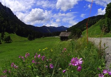
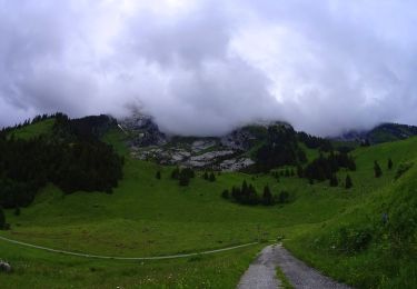
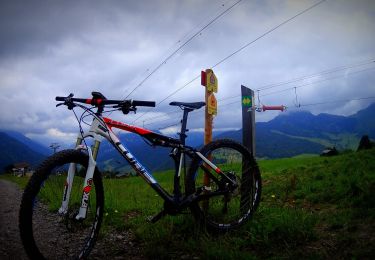
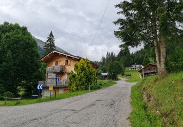
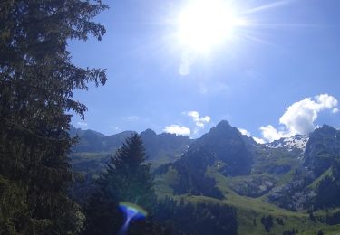
Trail Cycle of 169 km to be discovered at Auvergne-Rhône-Alpes, Upper Savoy, Saint-Jean-de-Sixt. This trail is proposed by biollay.

Description

Variante de la Route des Grandes Alpes par le Massif des Bauges.

Elevation profile

Positioning

Country:
France
Region :
Auvergne-Rhône-Alpes
Department/Province :
Upper Savoy
Municipality :
Saint-Jean-de-Sixt
Location:
Unknown
Start:(UTM)
299176 ; 5088712 (32T) N.

Comments

Please log in to post a review or rate the element


Trails nearby

Trail Mountain bike Le Grand-Bornand - vtt-dans-la-vallee-du-bouchet - Photo
Mountain bike
GUIDE
pascalou73

Mountain bike

Very easy
Le Grand-Bornand, Auvergne-Rhône-Alpes, Upper Savoy, France
7.5 km | 10.5 km-effort
Unknown
No
Trail Mountain bike Le Grand-Bornand - VTT du grand bornand au refuge - Photo
Mountain bike
GUIDE
pascalou73

Mountain bike

Very easy
Le Grand-Bornand, Auvergne-Rhône-Alpes, Upper Savoy, France
25 km | 38 km-effort
Unknown
Yes
Trail Mountain bike Le Grand-Bornand - Le_Grand_Bornand_20210706_104522 - Photo
Mountain bike
GUIDE
pascalou73

Mountain bike

Very easy
Le Grand-Bornand, Auvergne-Rhône-Alpes, Upper Savoy, France
18.4 km | 29 km-effort
Unknown
Yes
Trail Walking La Clusaz - Les Converses, Le Planet, Beauregard, les Corbassières (boucle) - Photo
Walking
GUIDE
lhomme.ph

Walking

Difficult
La Clusaz, Auvergne-Rhône-Alpes, Upper Savoy, France
10.4 km | 17.7 km-effort
3h 11min
Yes
Trail Mountain bike Le Grand-Bornand - Le_Grand_Bornand_20200623_090207 - Photo
Mountain bike
GUIDE
pascalou73

Mountain bike

Very easy
Le Grand-Bornand, Auvergne-Rhône-Alpes, Upper Savoy, France
26 km | 38 km-effort
Unknown
No
Trail Snowshoes Thônes - Mlande Platenet Frassot  Mlande - Photo
Snowshoes
thierryd

Snowshoes

Very easy
(1)
Thônes, Auvergne-Rhône-Alpes, Upper Savoy, France
7.3 km | 13.7 km-effort
3h 24min
Yes
Trail Mountain bike La Clusaz - VTT Aravis  - Photo
Mountain bike
Tibo74lc

Mountain bike

Medium
(1)
La Clusaz, Auvergne-Rhône-Alpes, Upper Savoy, France
35 km | 52 km-effort
2h 38min
Yes
Trail Walking Le Grand-Bornand - la tête du Danay - Photo
Walking
Piffeteau

Walking

Easy
(1)
Le Grand-Bornand, Auvergne-Rhône-Alpes, Upper Savoy, France
15.5 km | 27 km-effort
3h 13min
Yes
Trail Mountain bike La Clusaz - Aravis  - Photo
Mountain bike
Tibo74lc

Mountain bike

Very easy
(1)
La Clusaz, Auvergne-Rhône-Alpes, Upper Savoy, France
43 km | 63 km-effort
3h 46min
Yes


Close
My subscriptions