


Roumengoux - Lavelanet.

RR31
User
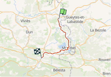

Length
30 km

Max alt
550 m

Uphill gradient
679 m
Km-Effort
38 km

Min alt
319 m

Downhill gradient
569 m
Boucle
No
Creation date :
2014-12-10 00:00:00.0
Updated on :
2014-12-10 00:00:00.0
8h04
Difficulty : Medium

FREE GPS app for hiking
 SityTrail
IGN / Geographical institutes
SityTrail Plus
The world is yours!
About
Trail Walking of 30 km to be discovered at Occitania, Ariège, Roumengoux. This trail is proposed by RR31.
Description
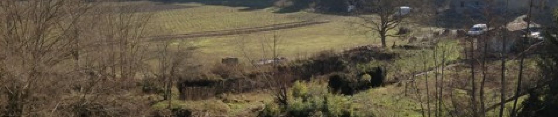
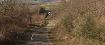
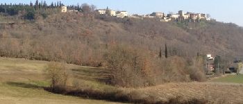
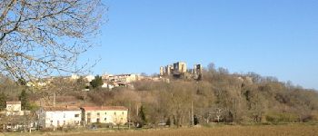
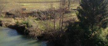
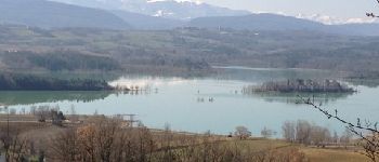
Traversée du pays d'Olmes de la halte Jacquaire de Roumengoux à Lavelanet en passant par le lac de MontBel.
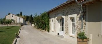
Photos


Positioning
Country:
France
Region :
Occitania
Department/Province :
Ariège
Municipality :
Roumengoux
Location:
Unknown
Start:(Dec)
Start:(UTM)
413209 ; 4769223 (31T) N.
Comments