


Lavelanet Belesta Ivry

RR31
User
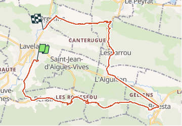

Length
25 km

Max alt
673 m

Uphill gradient
498 m
Km-Effort
32 km

Min alt
446 m

Downhill gradient
535 m
Boucle
No
Creation date :
2014-12-10 00:00:00.0
Updated on :
2014-12-10 00:00:00.0
6h42
Difficulty : Medium

FREE GPS app for hiking
 SityTrail
IGN / Geographical institutes
SityTrail Plus
The world is yours!
About
Trail Walking of 25 km to be discovered at Occitania, Ariège, Lavelanet. This trail is proposed by RR31.
Description
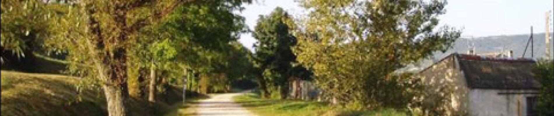
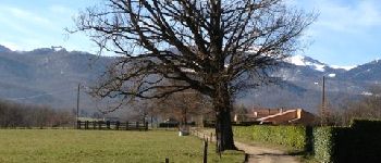
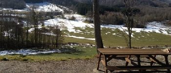
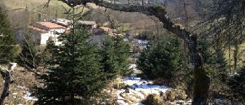
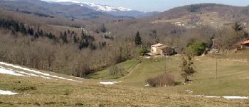
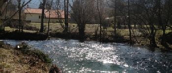
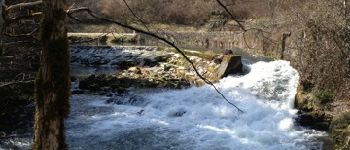
Rando au Pays d'Olmes : Lavelanet- Benaix - Belesta - L'Aiguillon - Camp Redon - Dreuilhe
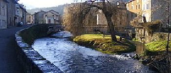
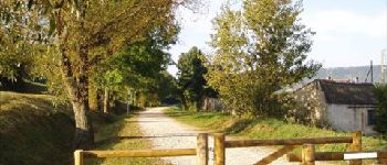
Photos


Positioning
Country:
France
Region :
Occitania
Department/Province :
Ariège
Municipality :
Lavelanet
Location:
Unknown
Start:(Dec)
Start:(UTM)
406237 ; 4753242 (31T) N.
Comments