


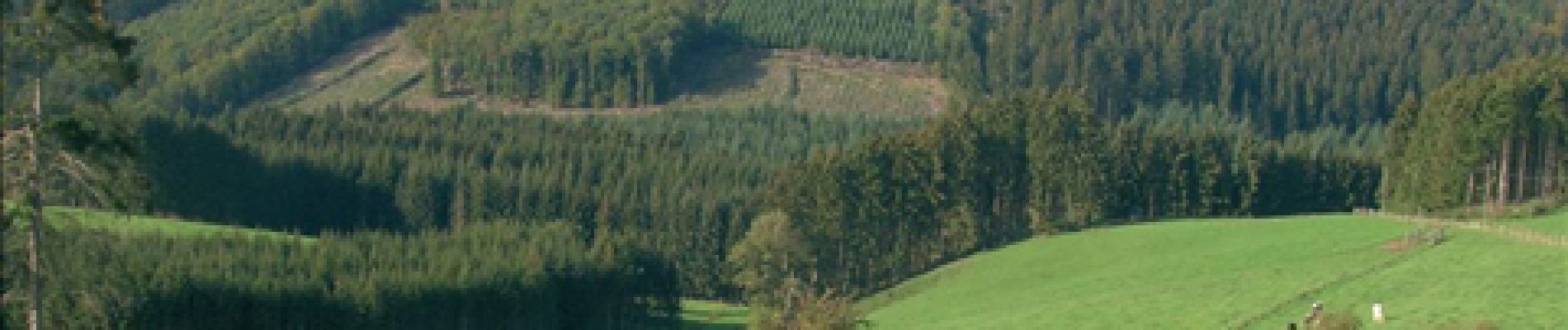
RB-Lg-08 - Dans le décor quasi-alpestre de la vallée de l’Our et de la région des Trois Frontières

GR Rando (plus commercialisé)
Randonnez sur et autour des GR ® wallons (Sentiers de Grande Randonnée). PRO


6h18
Difficulty : Very difficult

FREE GPS app for hiking
 SityTrail
IGN / Geographical institutes
SityTrail Plus
The world is yours!
About
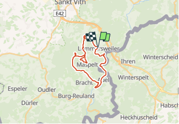
Trail Walking of 21 km to be discovered at Wallonia, Liège, Saint Vith. This trail is proposed by GR Rando (plus commercialisé).
Description
Neidingen – Lommersweiler – Hemmeres – Auel – Maspelt – Neidingen
Cartographie et documentation
Carte IGN au 1 : 20 000, 56/7-8 « Burg-Reuland – Gross-Bohlscheid ».
Carte IGN de promenades au 1 : 25 000 « » (Tou. 0088)
Topo-guide du GR 56 « Cantons de l’Est et Parc naturel Hautes Fagnes – Nord-
Eifel ».
Où se désaltérer et se restaurer :
Il faudra vous rabattre sur la ville de Saint-Vith qui n’est qu’à quelques kilomètres.
Infos touristiques
Syndicat d’Initiative de Saint-Vith : www.st.vith.be
« Musée de la vie rurale » à 4780 Saint-Vith, Schwarzer Weg, 6 – www.zvs.be
« Musée de la Bière de Rodt », Rodt 89A, 4784Saint-Vith, www.biermuseum.be
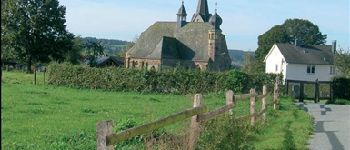
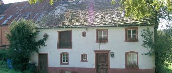
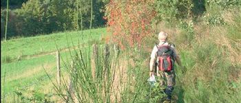
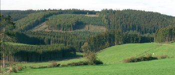
Photos


Points of interest


Positioning
Comments
très belles vues beaux parcours boisés
Fait en aout 2011. tres beaux paysages