


gue pean240313

CRCL
User
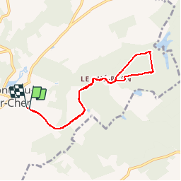

Length
7.3 km

Max alt
112 m

Uphill gradient
100 m
Km-Effort
8.7 km

Min alt
81 m

Downhill gradient
104 m
Boucle
Yes
Creation date :
2014-12-10 00:00:00.0
Updated on :
2014-12-10 00:00:00.0
1h33
Difficulty : Very easy

FREE GPS app for hiking
 SityTrail
IGN / Geographical institutes
SityTrail Plus
The world is yours!
About
Trail Nordic walking of 7.3 km to be discovered at Centre-Loire Valley, Loir-et-Cher, Monthou-sur-Cher. This trail is proposed by CRCL.
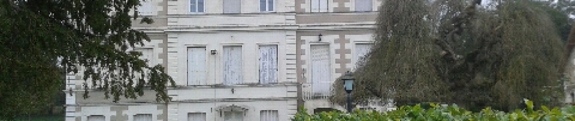
Photos


Positioning
Country:
France
Region :
Centre-Loire Valley
Department/Province :
Loir-et-Cher
Municipality :
Monthou-sur-Cher
Location:
Unknown
Start:(Dec)
Start:(UTM)
371502 ; 5244839 (31T) N.
Comments