


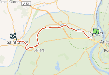
arles st Gilles

RR31
User

Length
21 km

Max alt
27 m

Uphill gradient
143 m
Km-Effort
23 km

Min alt
0 m

Downhill gradient
131 m
Boucle
No
Creation date :
2014-12-10 00:00:00.0
Updated on :
2014-12-10 00:00:00.0
4h29
Difficulty : Medium

FREE GPS app for hiking
 SityTrail
IGN / Geographical institutes
SityTrail Plus
The world is yours!
About
Trail Walking of 21 km to be discovered at Provence-Alpes-Côte d'Azur, Bouches-du-Rhône, Arles. This trail is proposed by RR31.
Description
st Jacques
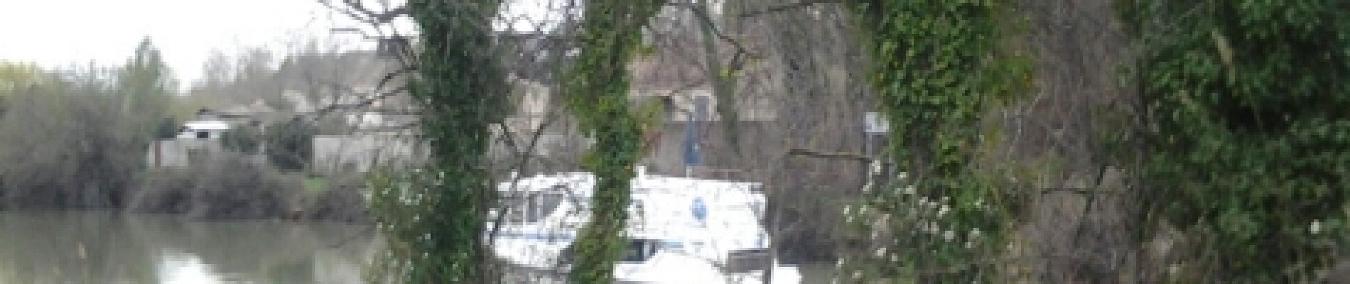
Photos


Positioning
Country:
France
Region :
Provence-Alpes-Côte d'Azur
Department/Province :
Bouches-du-Rhône
Municipality :
Arles
Location:
Unknown
Start:(Dec)
Start:(UTM)
629079 ; 4837994 (31T) N.
Comments