


Vauvert - Villetelle

RR31
User
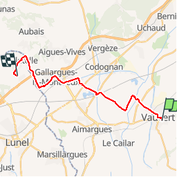

Length
22 km

Max alt
57 m

Uphill gradient
139 m
Km-Effort
23 km

Min alt
7 m

Downhill gradient
168 m
Boucle
No
Creation date :
2014-12-10 00:00:00.0
Updated on :
2014-12-10 00:00:00.0
6h51
Difficulty : Medium

FREE GPS app for hiking
 SityTrail
IGN / Geographical institutes
SityTrail Plus
The world is yours!
About
Trail Walking of 22 km to be discovered at Occitania, Gard, Vauvert. This trail is proposed by RR31.
Description
St Jacques
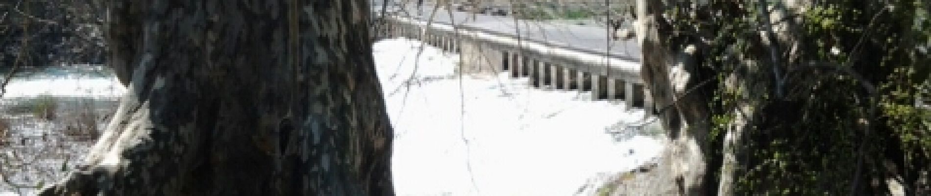
Photos


Positioning
Country:
France
Region :
Occitania
Department/Province :
Gard
Municipality :
Vauvert
Location:
Unknown
Start:(Dec)
Start:(UTM)
603084 ; 4838271 (31T) N.
Comments
